


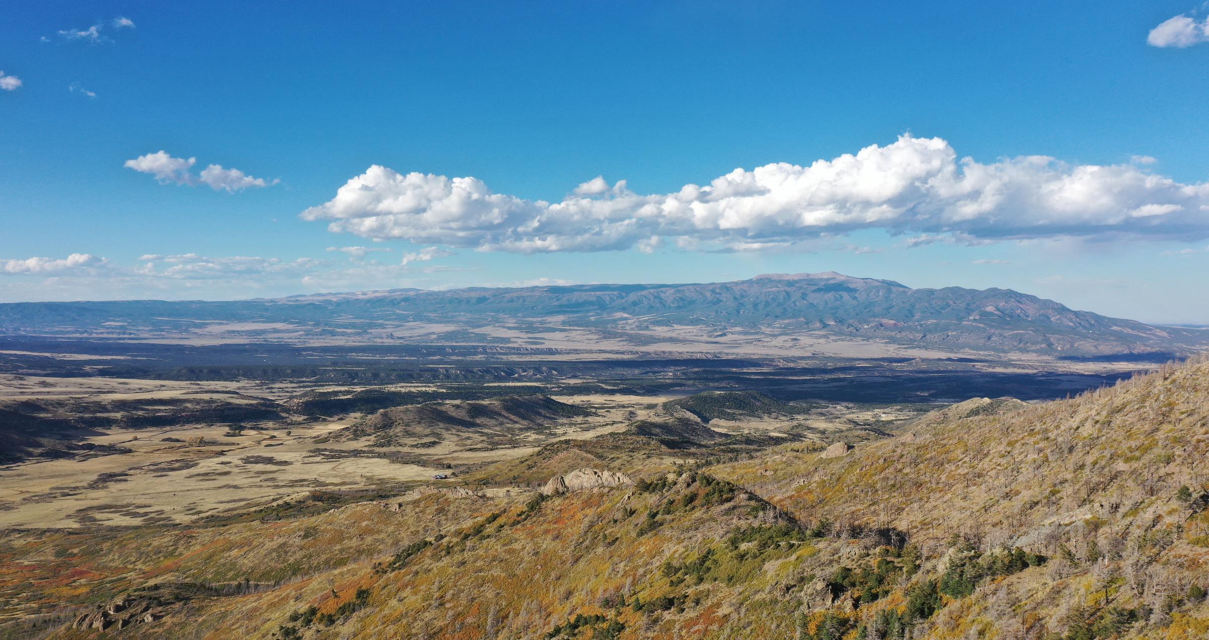
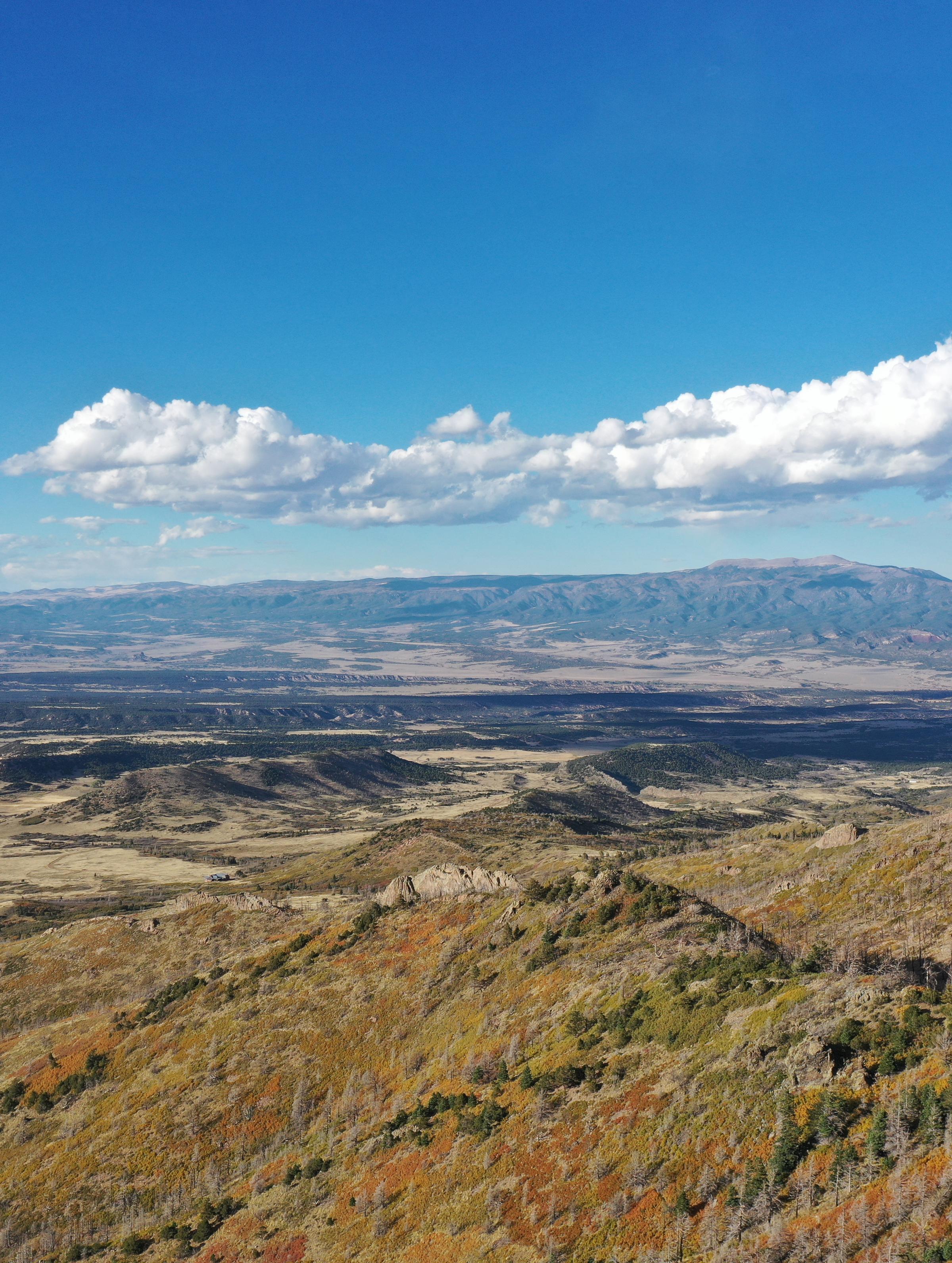
Colorado State Land Board Approves Landmark Reforestation Lease
The Colorado State Land Board approved an ecosystem services forest carbon lease with Land Life, mar...The Colorado State Land Board approved an ecosystem services forest carbon lease with Land Life, marking a significant step toward reforesting wildfire-affected state trust lands
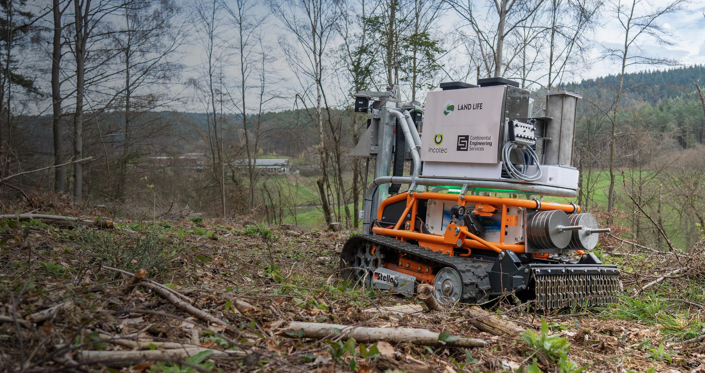
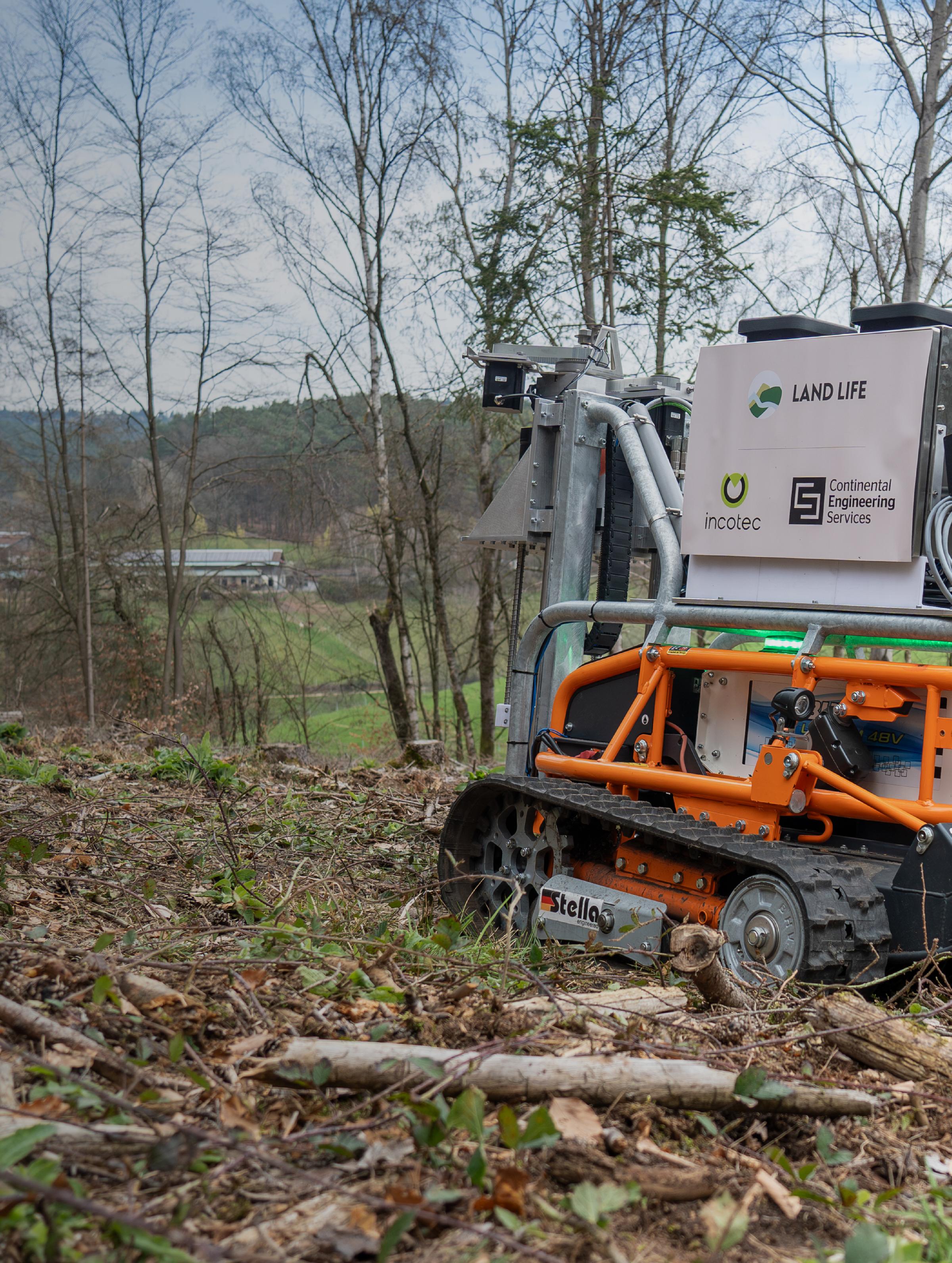
Revolutionizing Reforestation: introducing Tree Seeding Robot
In partnership with Continental Engineering Services (CES), we’ve designed a game-changing solution...In partnership with Continental Engineering Services (CES), we’ve designed a game-changing solution to make reforestation faster, more efficient, and more scalable.
Let's talk forest biodiversity: A comprehensive guide to wildlife habitat restoration
Let's talk forest biodiversity: A comprehensive guide to wildlife habitat restorationLet's talk forest biodiversity: A comprehensive guide to wildlife habitat restoration
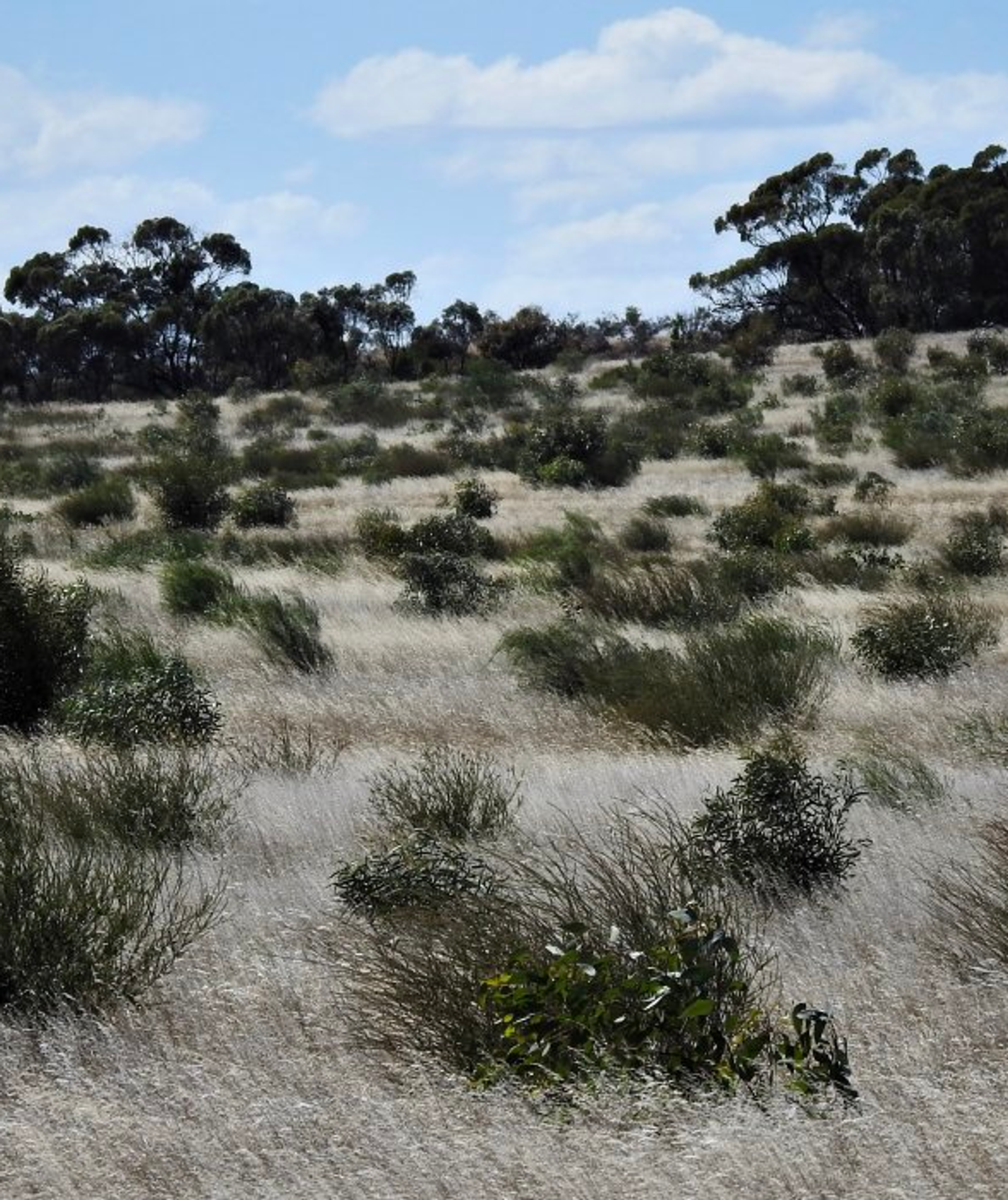
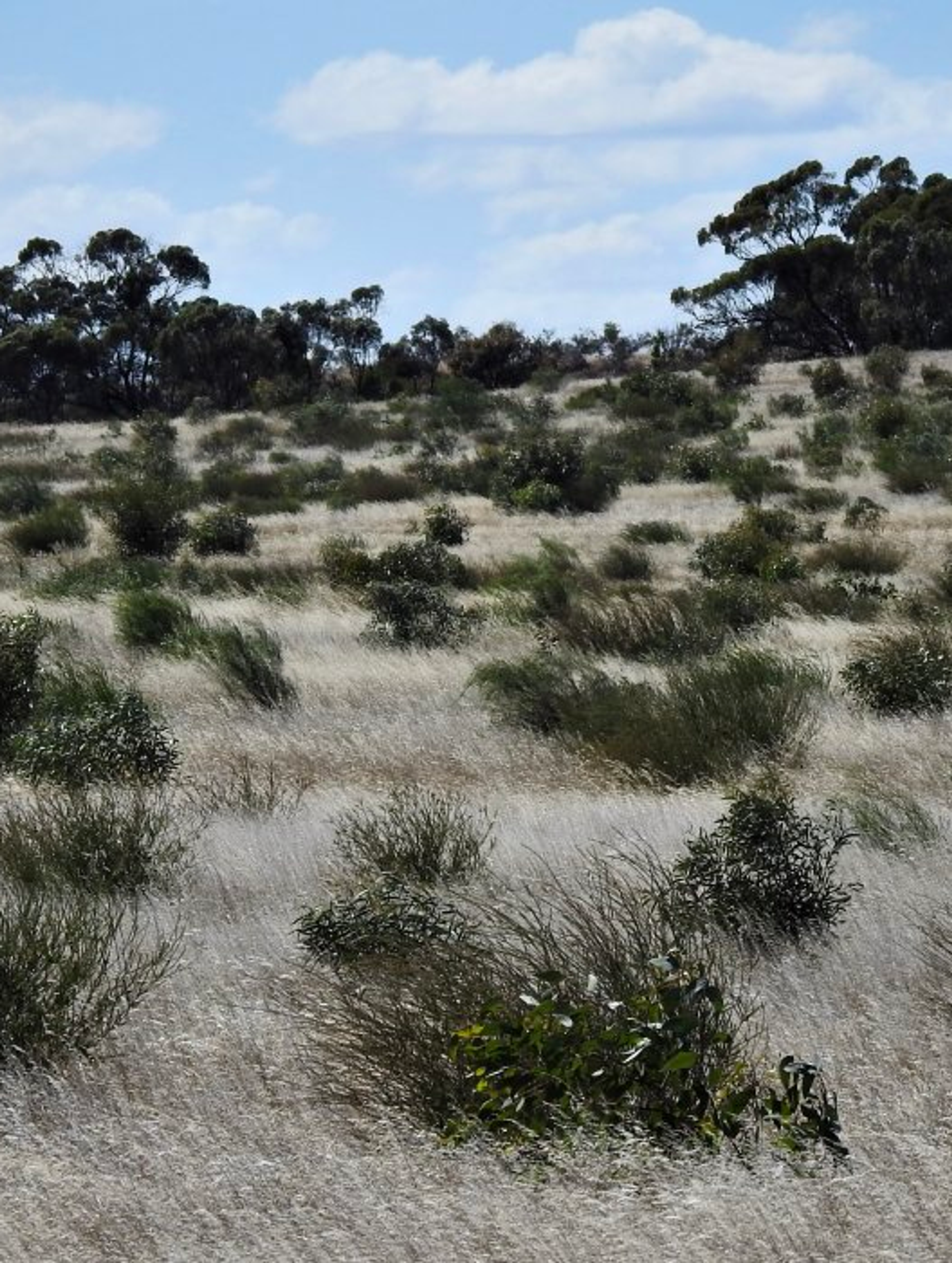
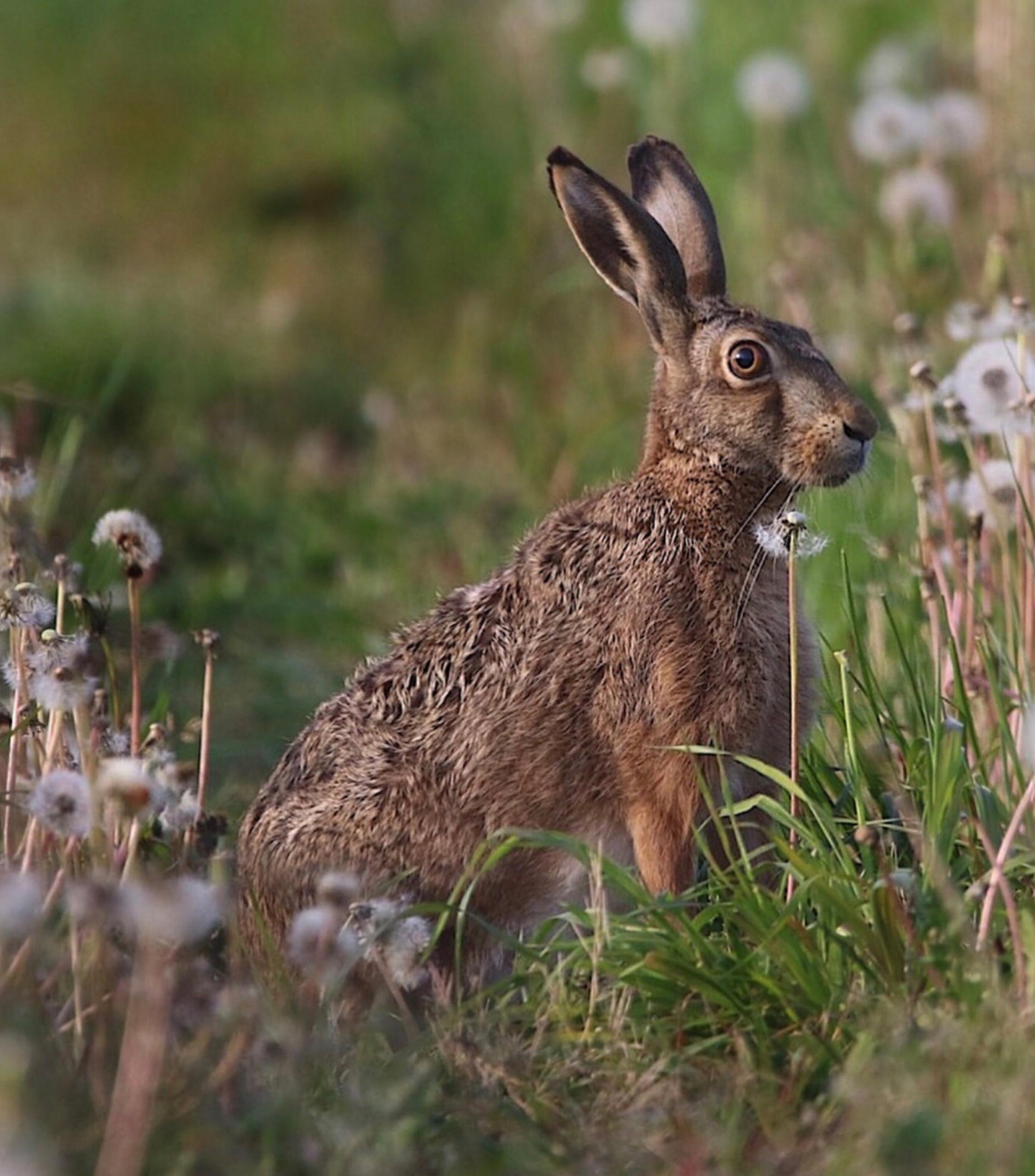
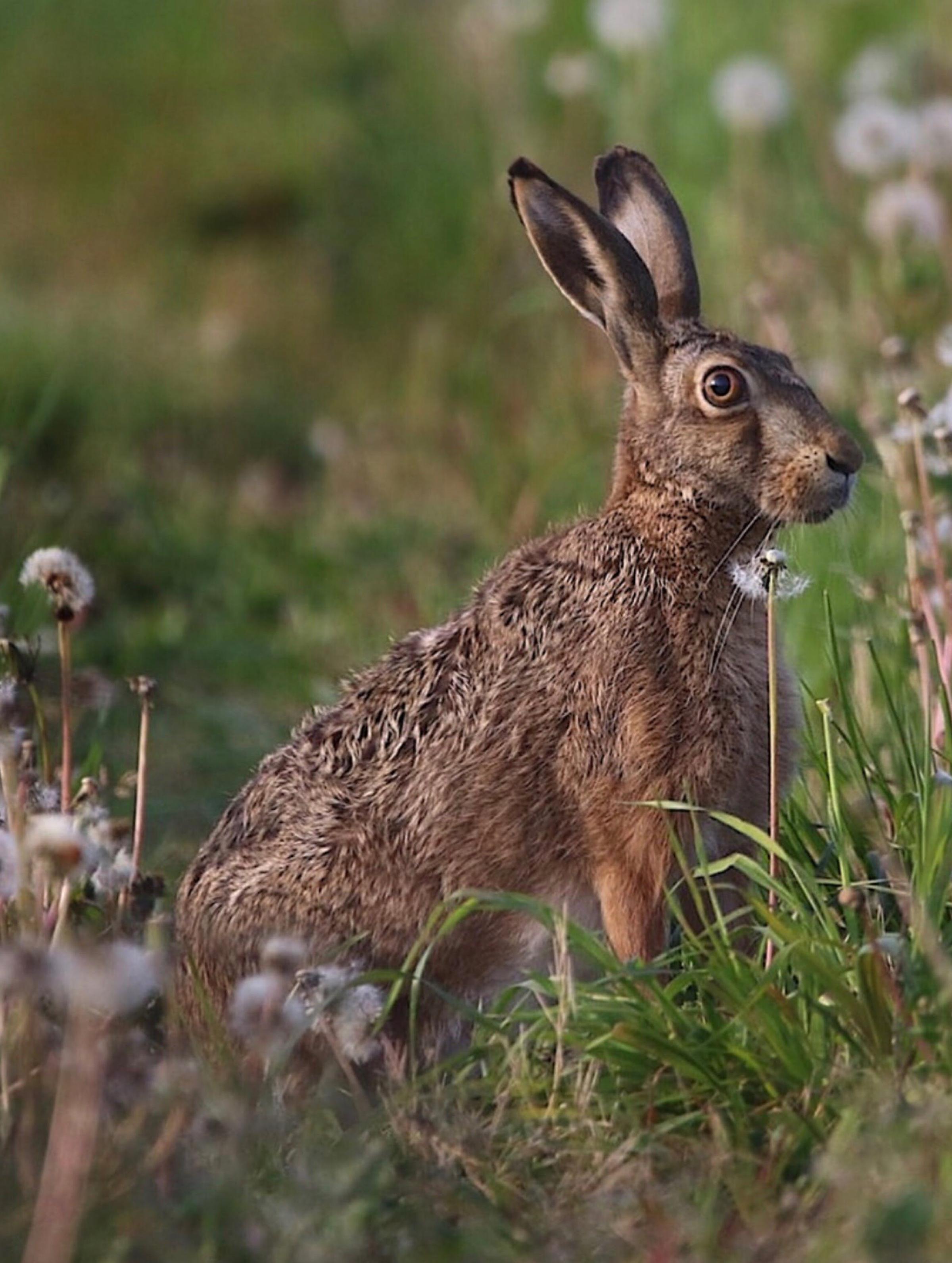
BushBank Program Launched in Victoria, Australia
Land Life partners with Cassinia Environmental to deliver on the BushBank program, an unprecedented...Land Life partners with Cassinia Environmental to deliver on the BushBank progra...
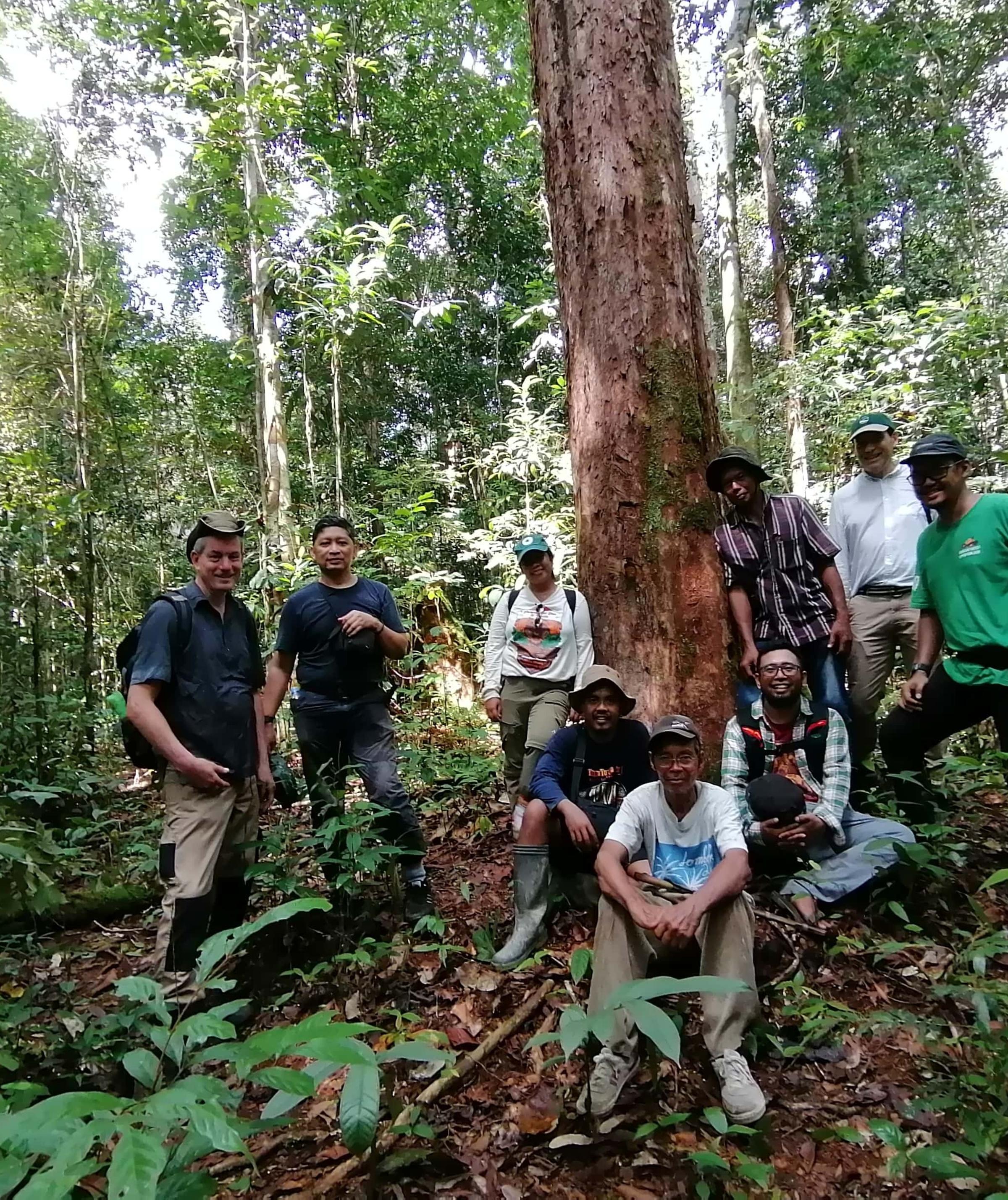
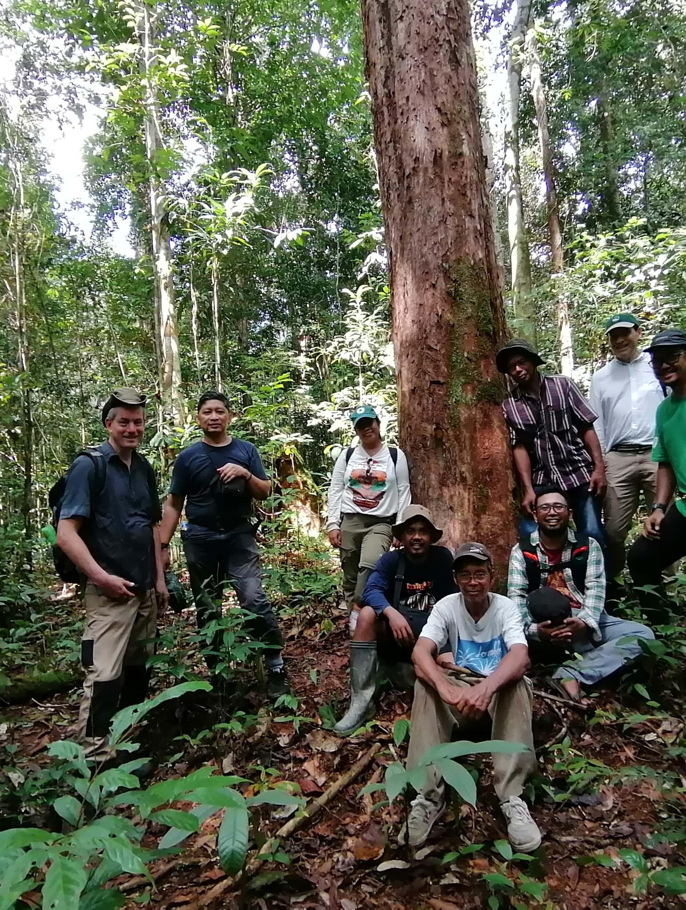
Restoring Critical Orangutan Habitat in Borneo with BOSF
Land Life is restoring critical habitat for threatened orangutans in Borneo in partnership with Born...Land Life is restoring critical habitat for threatened orangutans in Borneo in p...
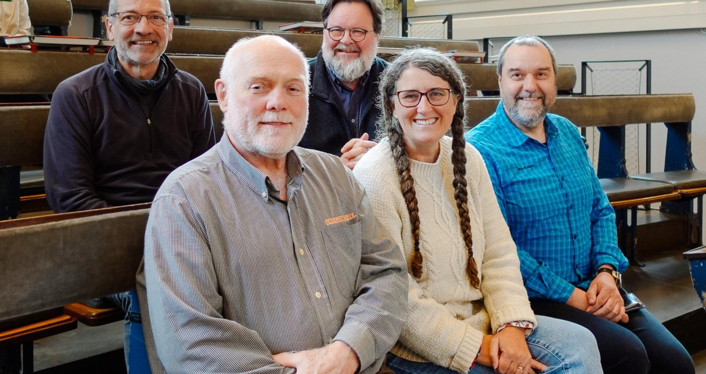
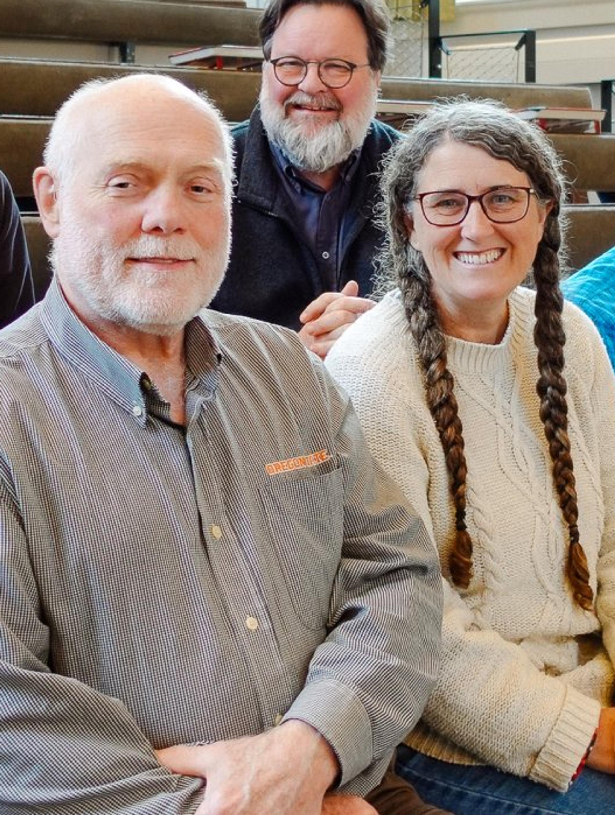
Land Life's Scientific Advisory Board: Meet Our Reforestation Experts
Discover the Land Life's Scientific Advisory Board members, who bring unparalleled reforestation and...Discover the Land Life's Scientific Advisory Board members, who bring unparalleled reforestation and sustainable forestry expertise to our nature-tech projects.
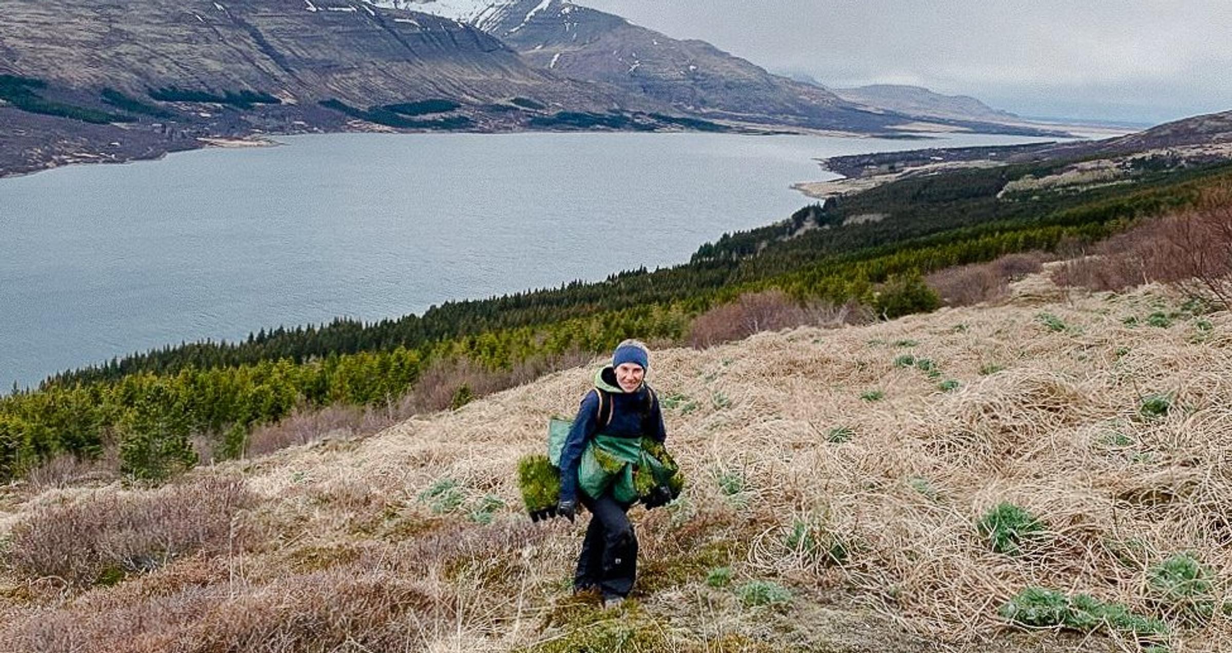
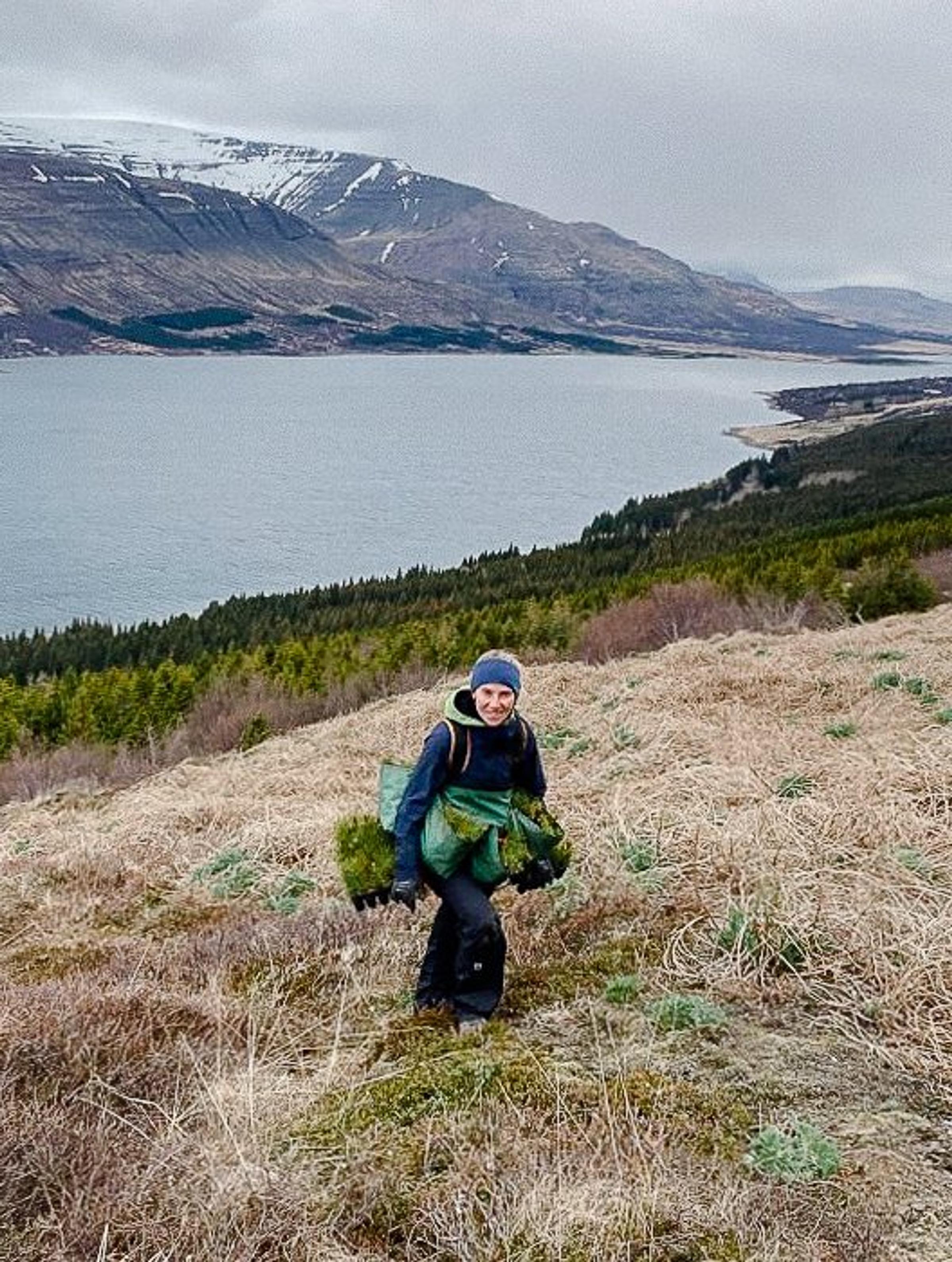
Lost Vikings, Hungry Sheep and Volcanic Soil
Welcome to Iceland! There is a joke in Iceland: “What do you do if you get lost in an Icelandic fore...Welcome to Iceland! There is a joke in Iceland: “What do you do if you get lost in an Icelandic forest? Stand up!” (Hvað gerir þú ef þú villist í íslenskum skógi, stendur upp!) This joke resonates, as...
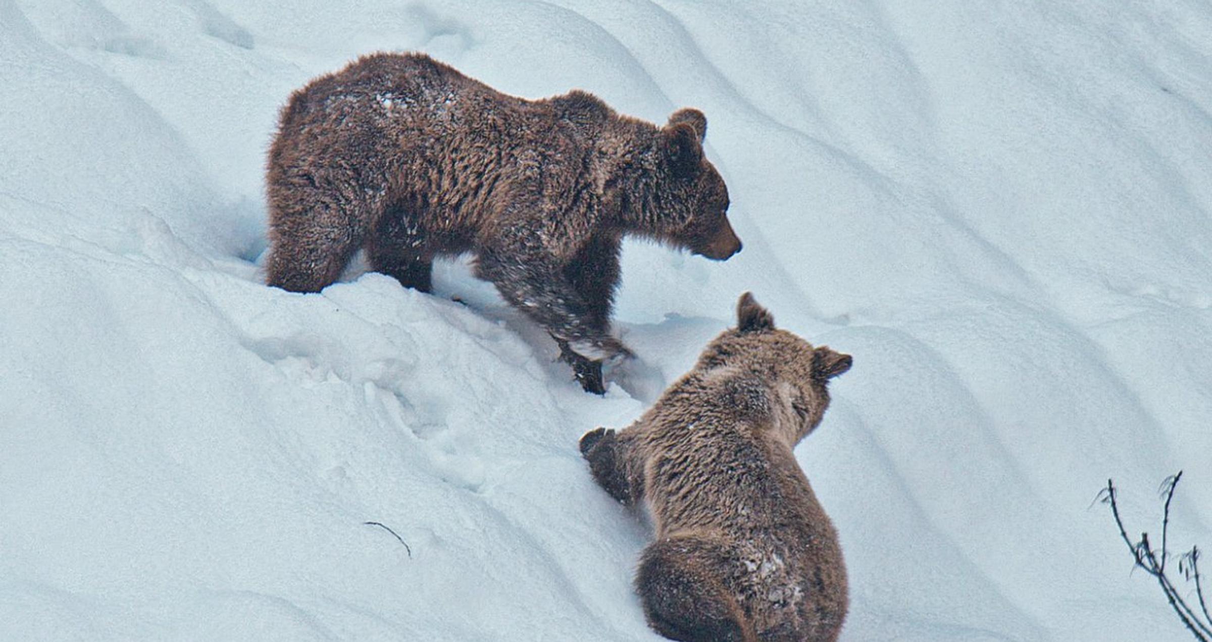
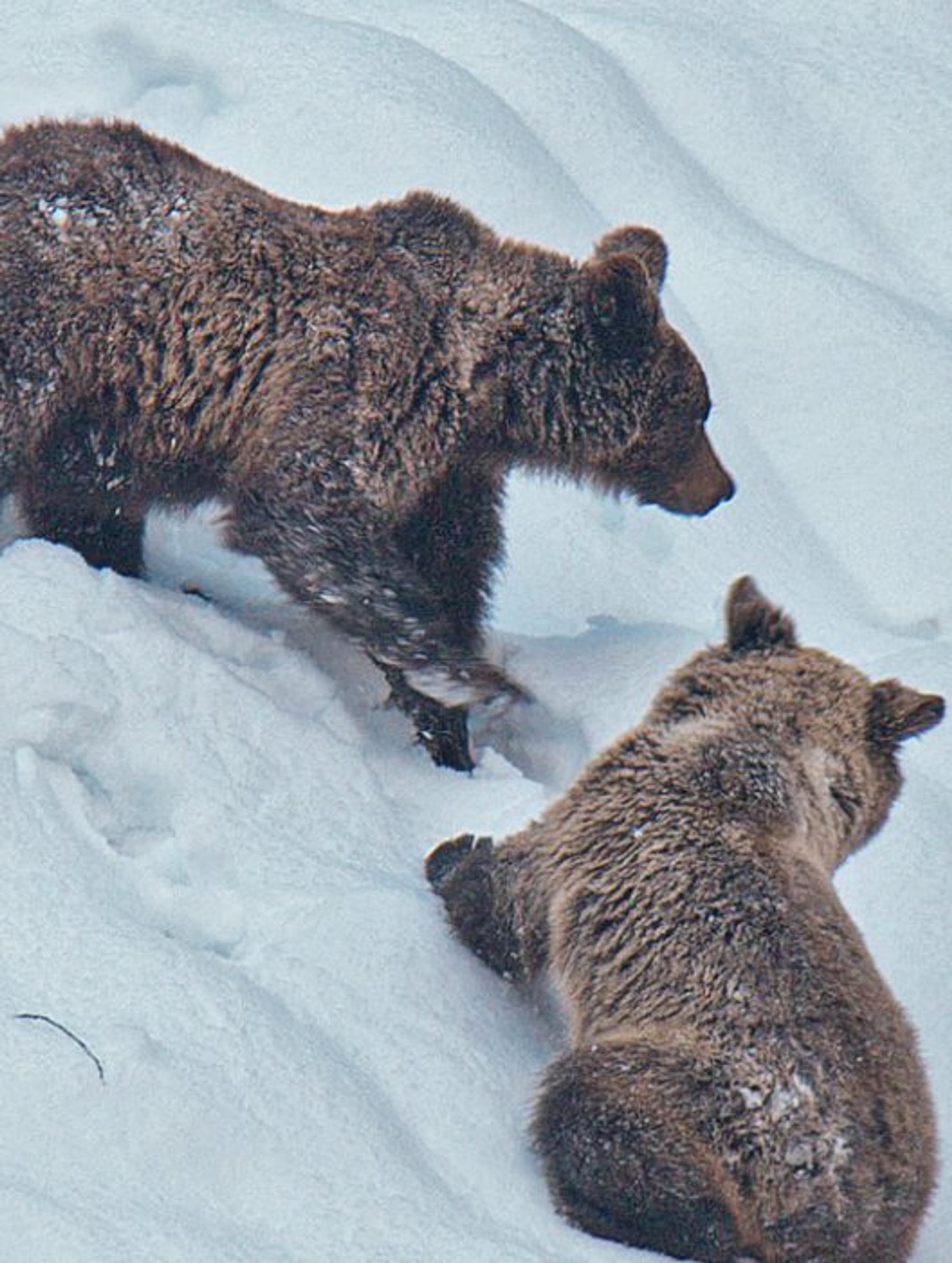
The Fall & Rise of the Cantabrian Brown Bear
In stories, poems and songs, bears are one of the creatures we most admire and create a character fo...In stories, poems and songs, bears are one of the creatures we most admire and create a character for. Unfortunately, due to deforestation, among other causes, the Cantabrian brown bear’s habitat is u...


