High Integrity ACCU Project Case Study
All our Updates
Carbon You Can Count On: How FastTrack is Raising the Bar for Credible Restoration
Land Life’s advanced carbon prediction model, FastTrack, is designed to bring credibility, accuracy...Land Life’s advanced carbon prediction model, FastTrack, is designed to bring credibility, accuracy and transparency to reforestation projects worldwide. Built for local accuracy and global applicatio...
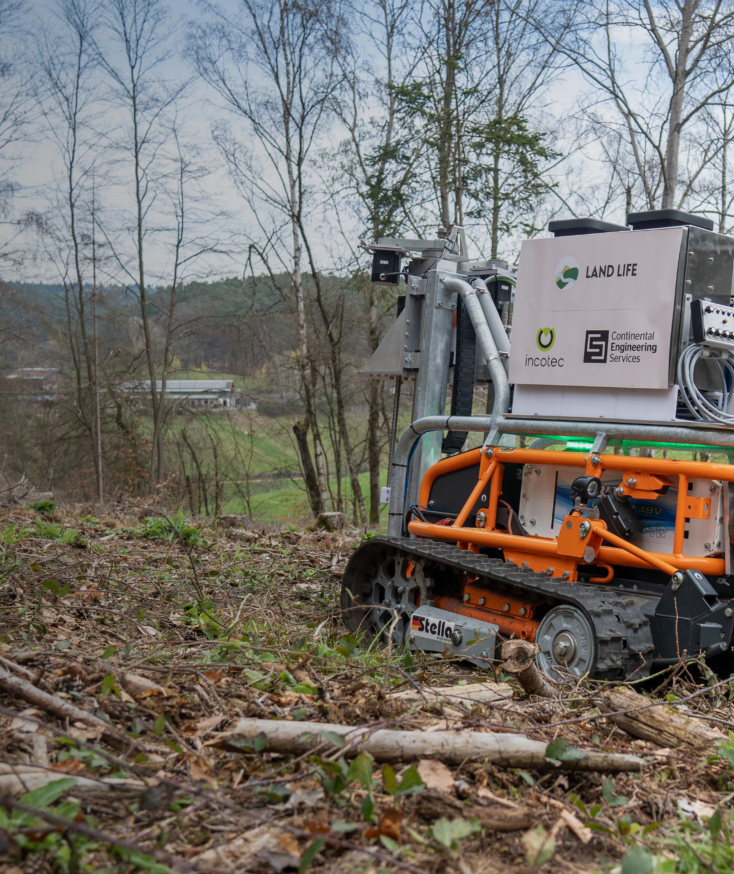
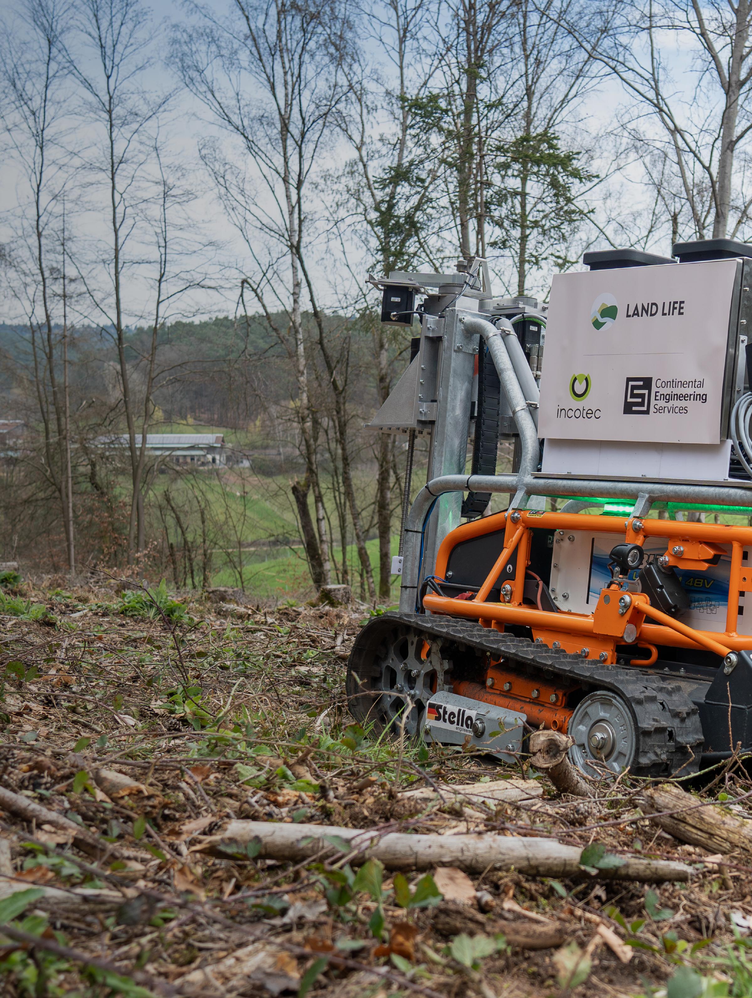
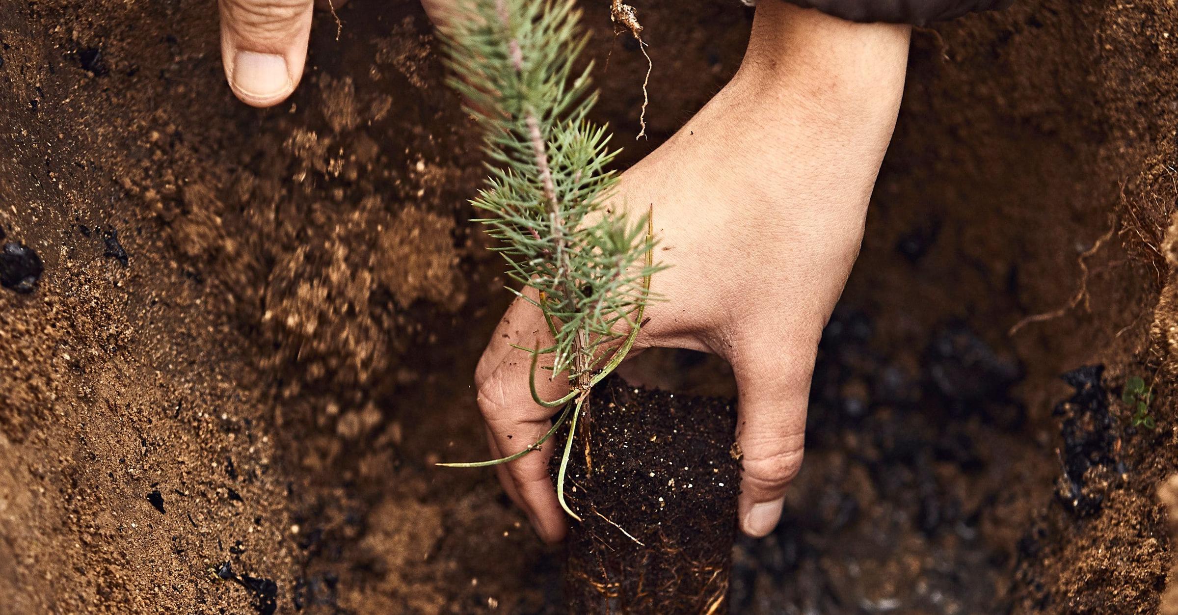
Revolutionizing Reforestation: Introducing Our Tree Seeding Robot
We've developed a game-changing solution with AUMOVIO Engineering Services to make reforestation fas...We've developed a game-changing solution with AUMOVIO Engineering Services to ma...
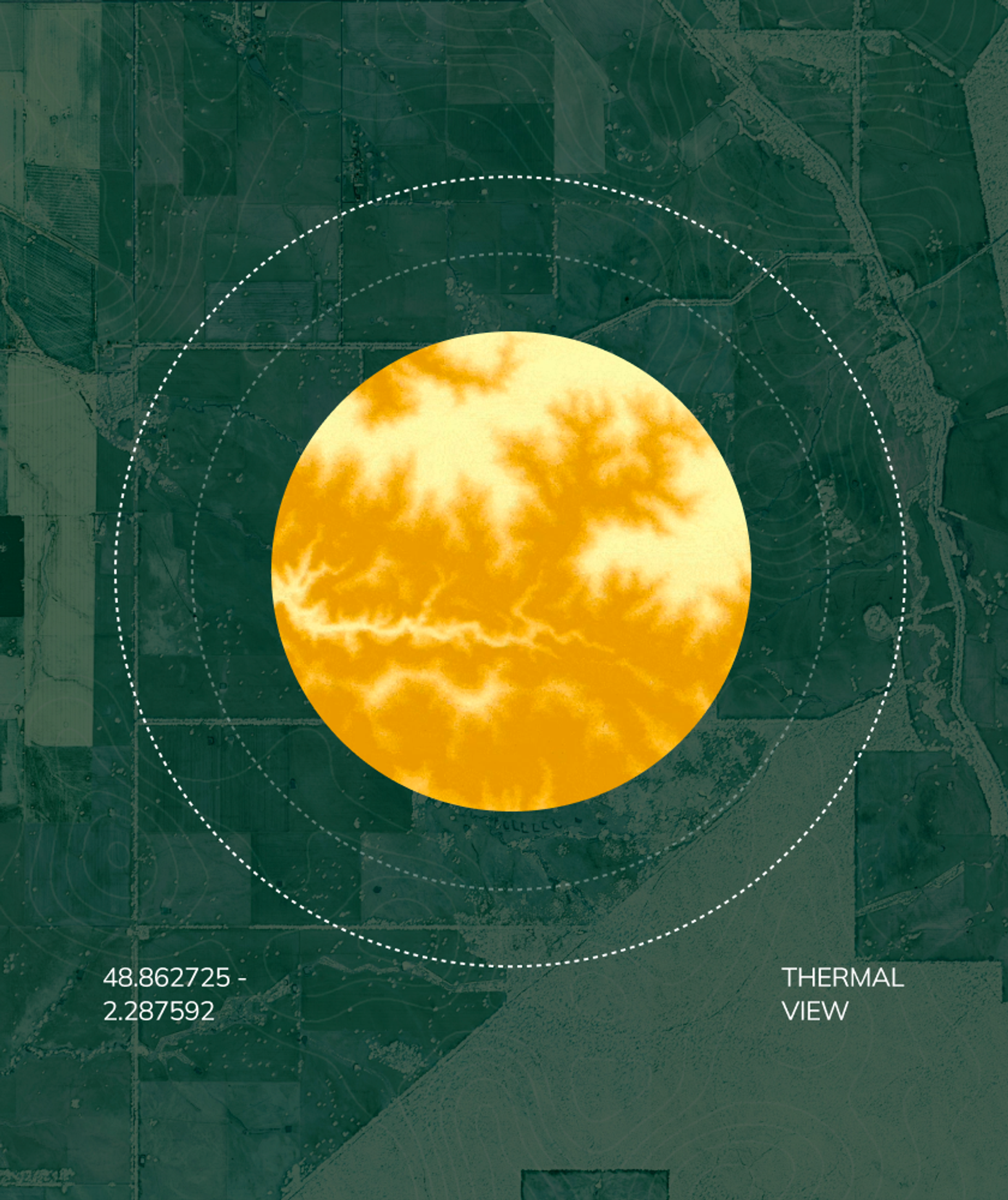
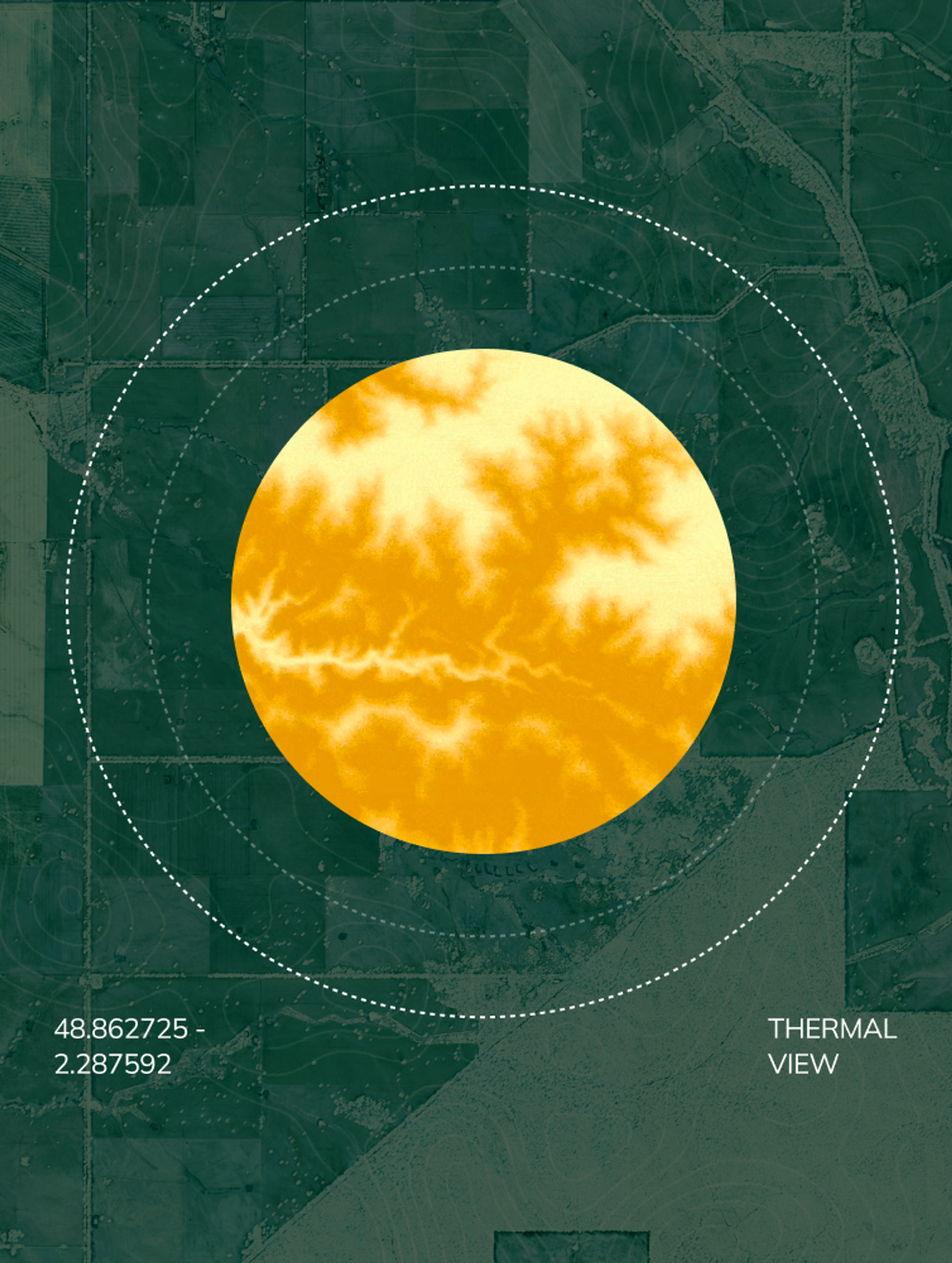
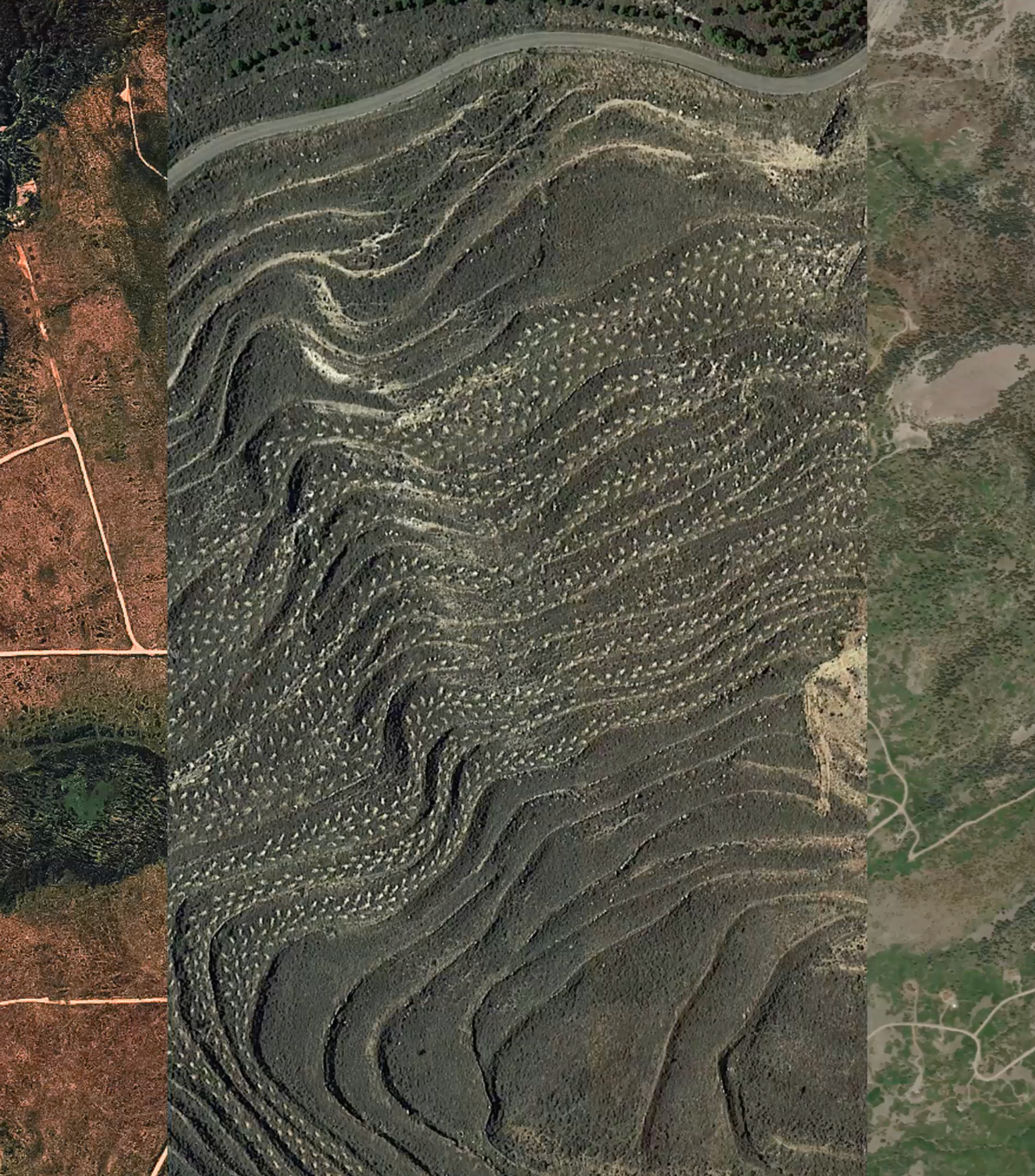
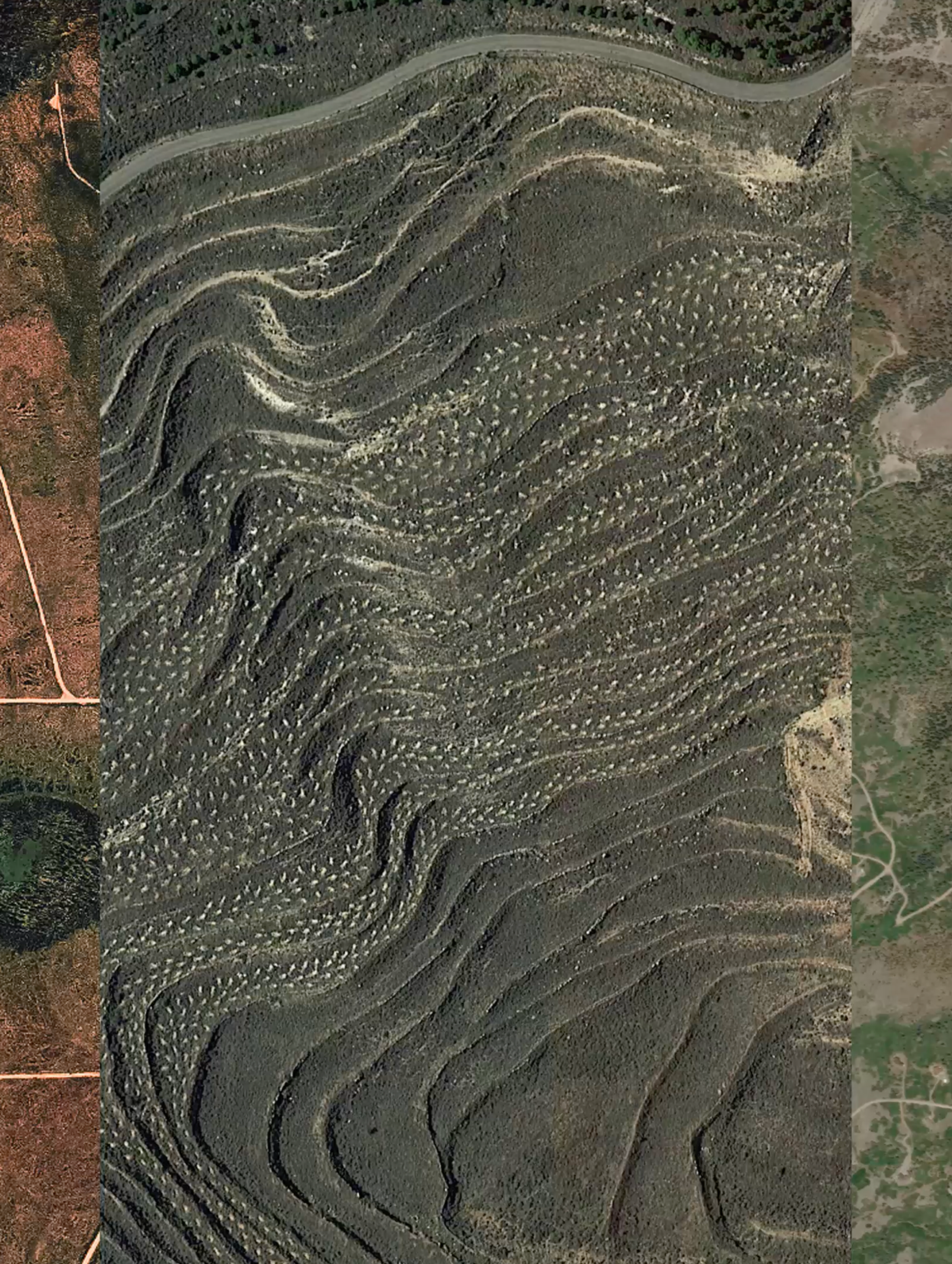
Remote Sensing in Action: Making Data-Driven Reforestation Decisions
Reduce uncertainty in reforestation. Land Life’s remote sensing tools identify viable sites, predict...Reduce uncertainty in reforestation. Land Life’s remote sensing tools identify v...
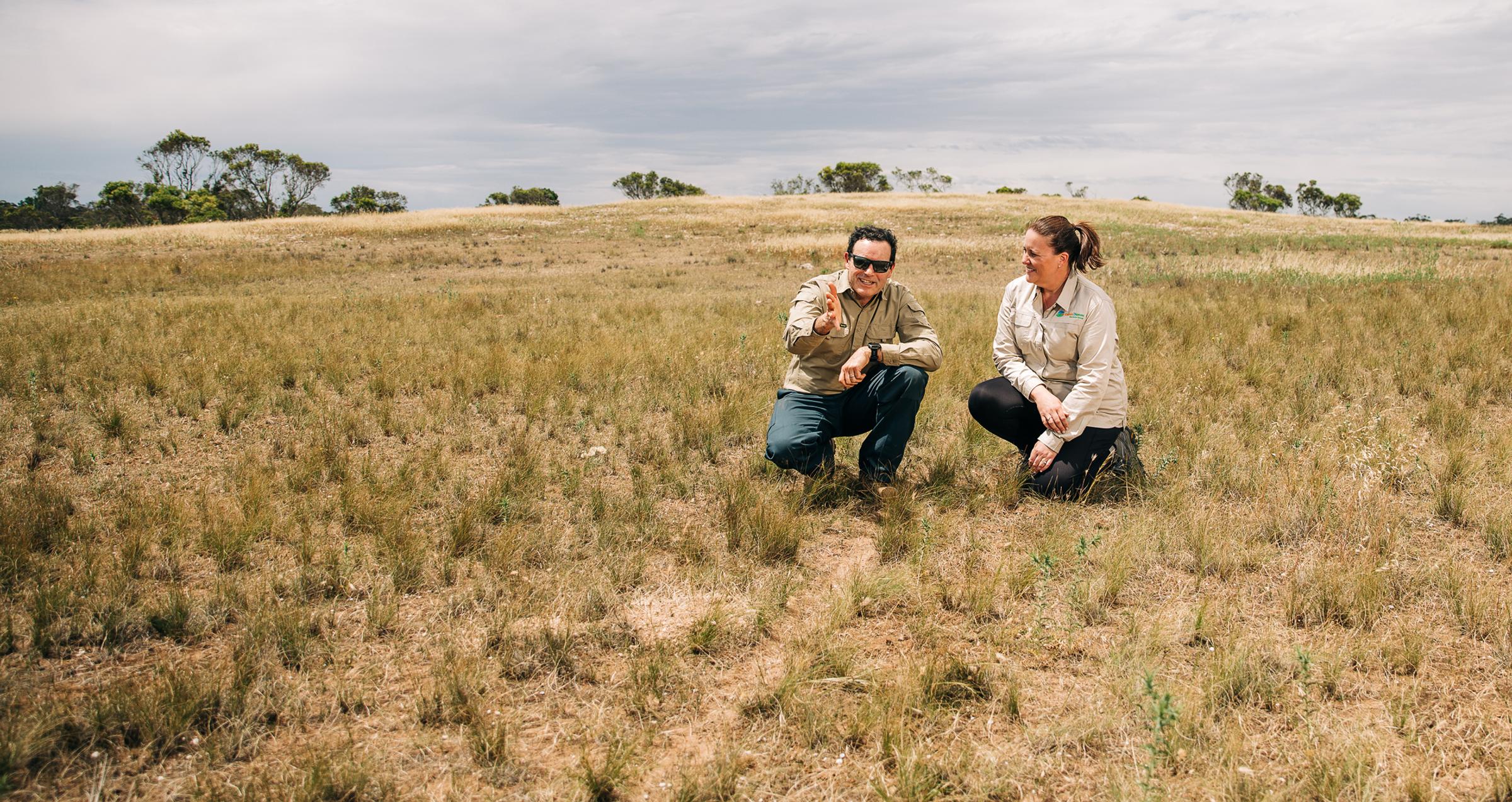

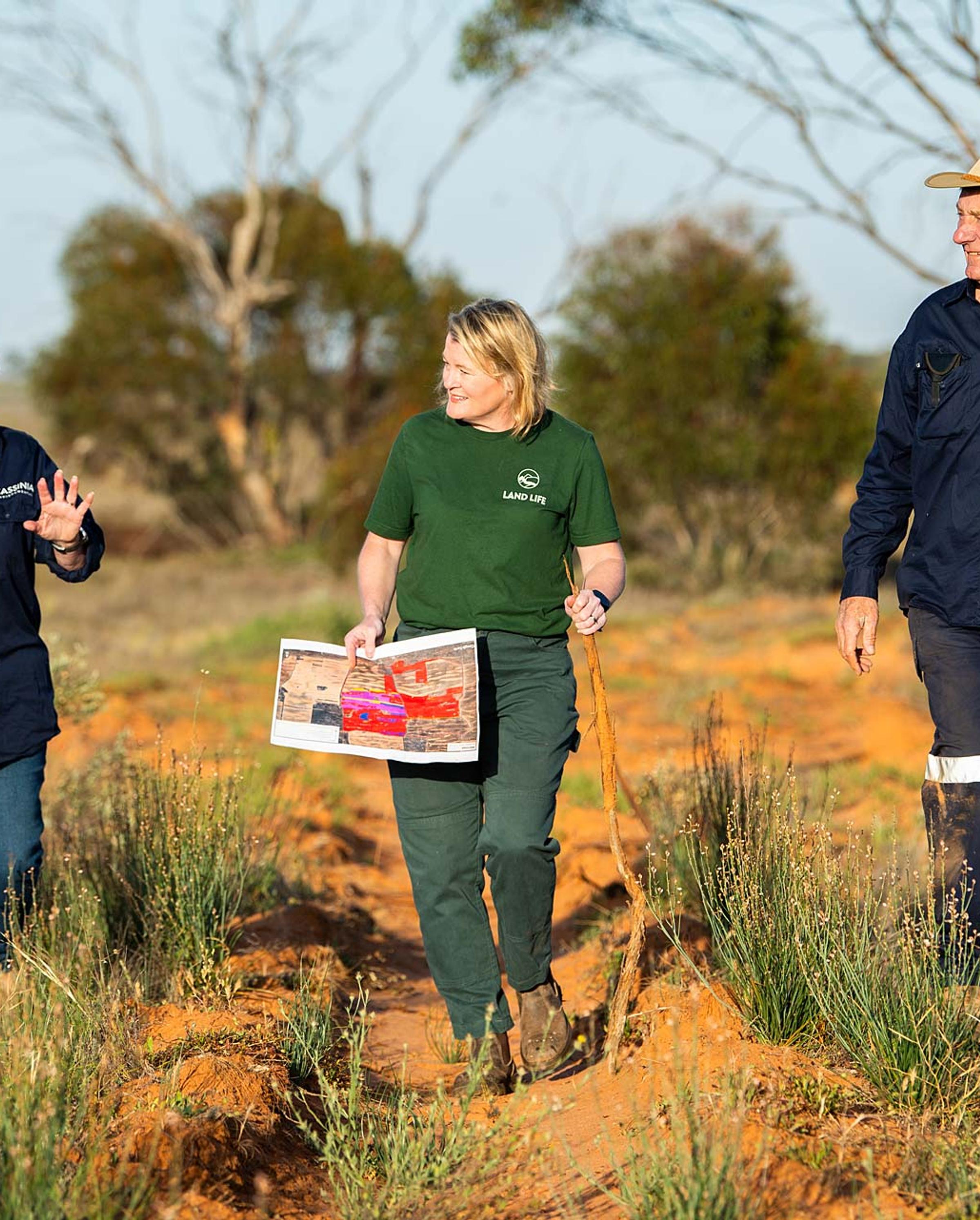
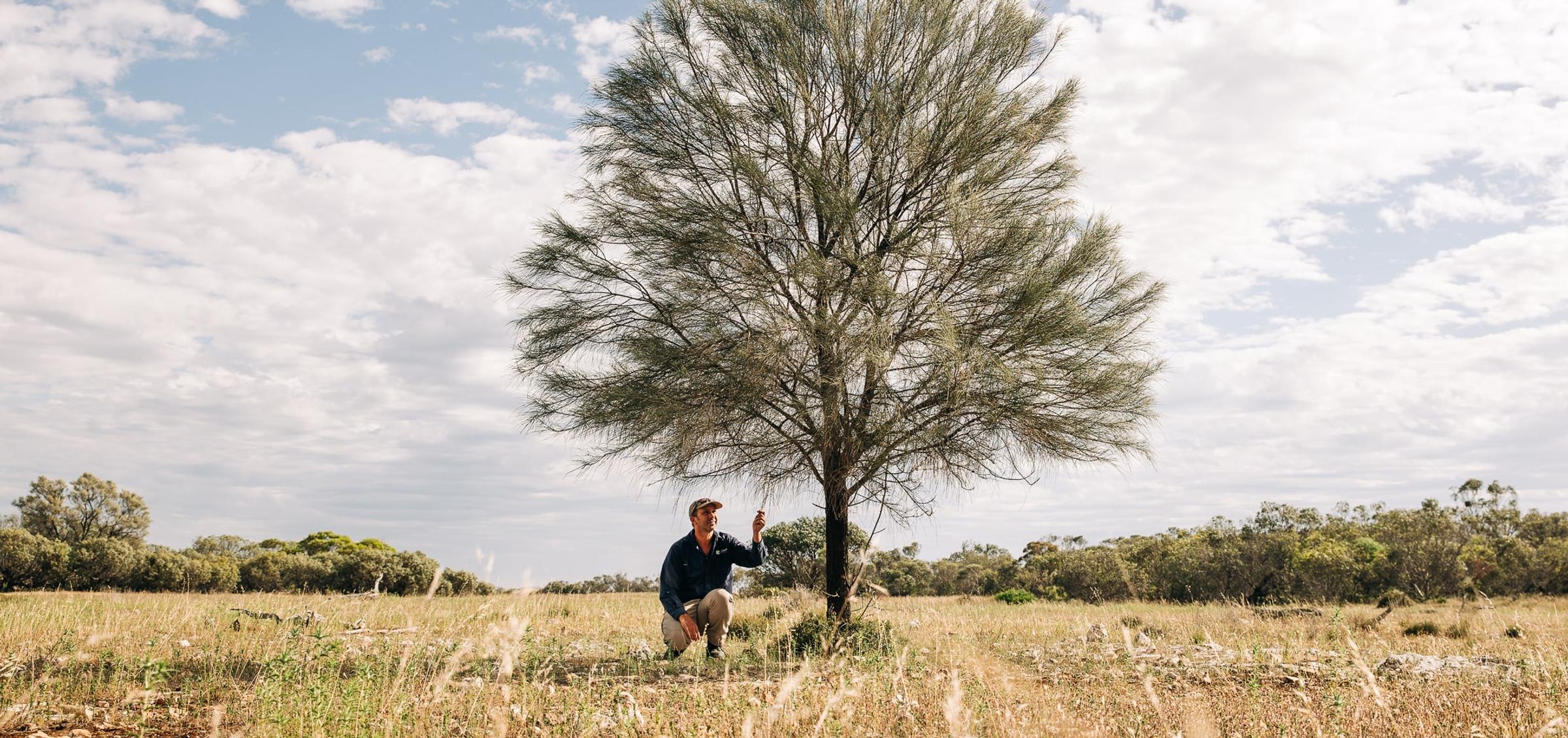
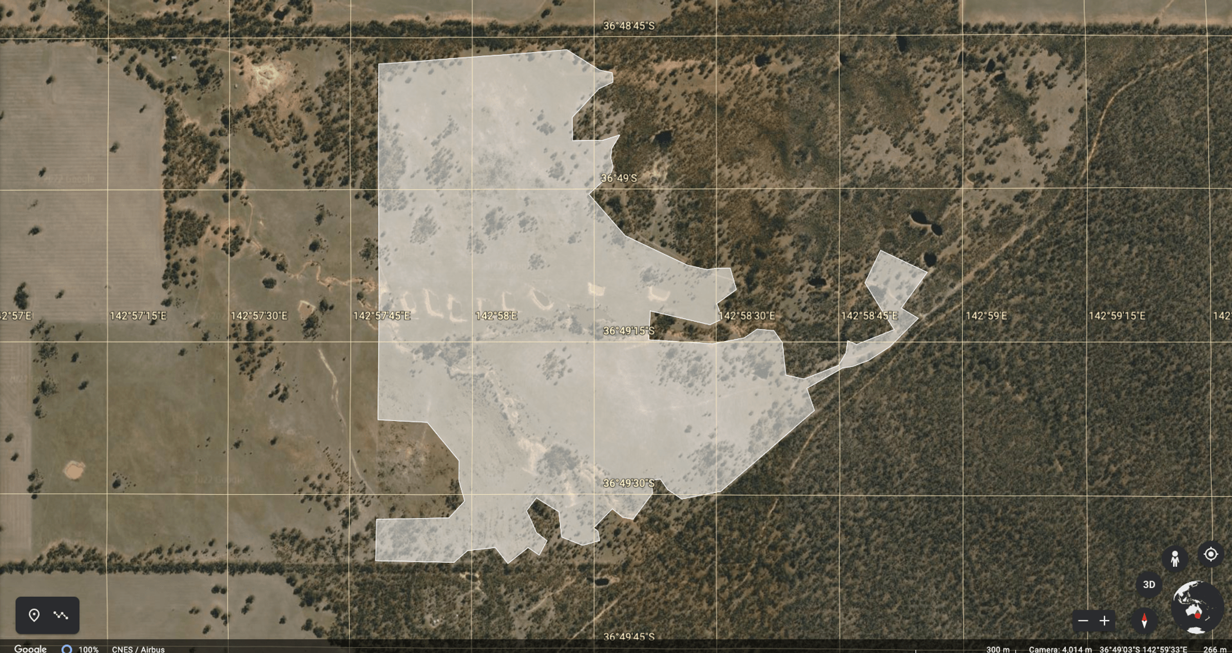
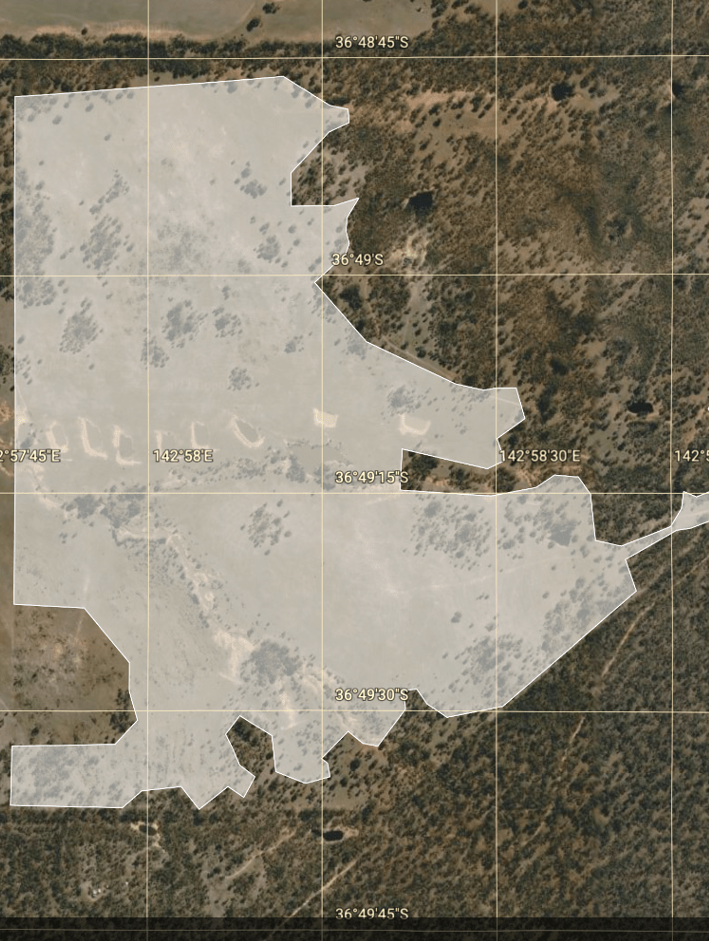
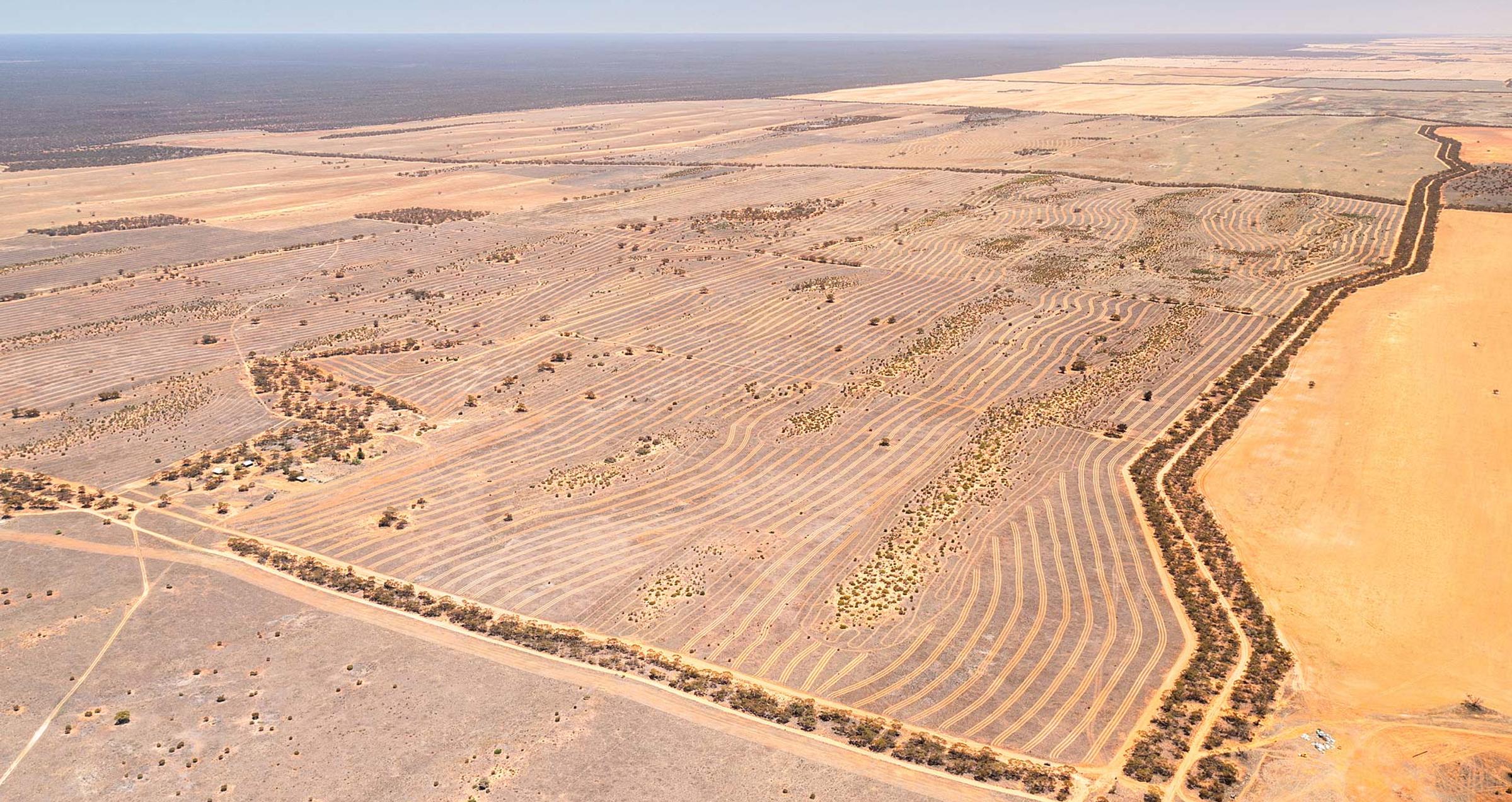
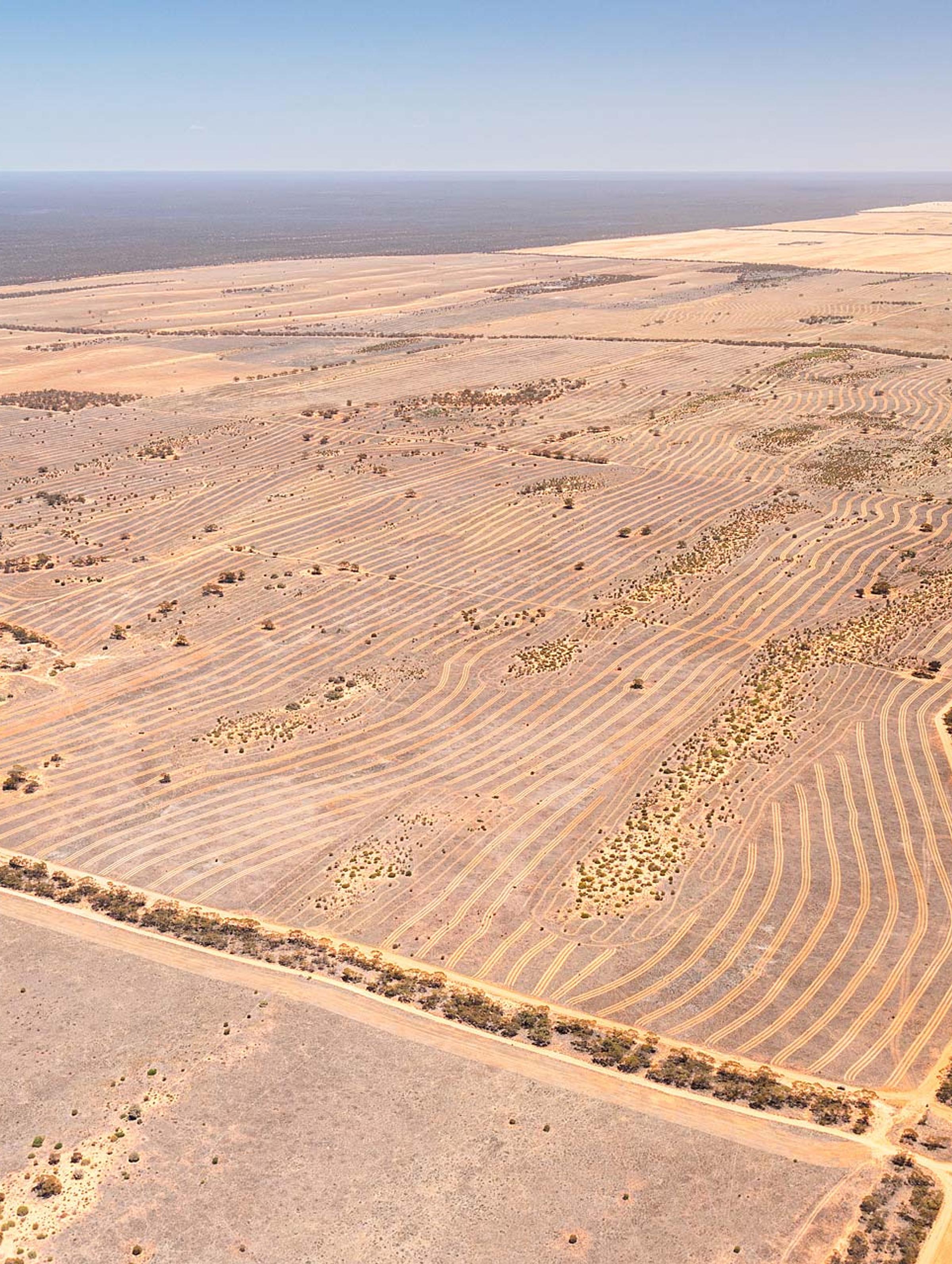
Global partnership delivers large-scale reforestation and high-integrity carbon project in South Australia
Land Life has partnered with Carbon2Nature Australia to launch their first Australian carbon removal...Land Life has partnered with Carbon2Nature Australia to launch their first Australian carbon removal project under the Australian Carbon Credit Unit scheme.
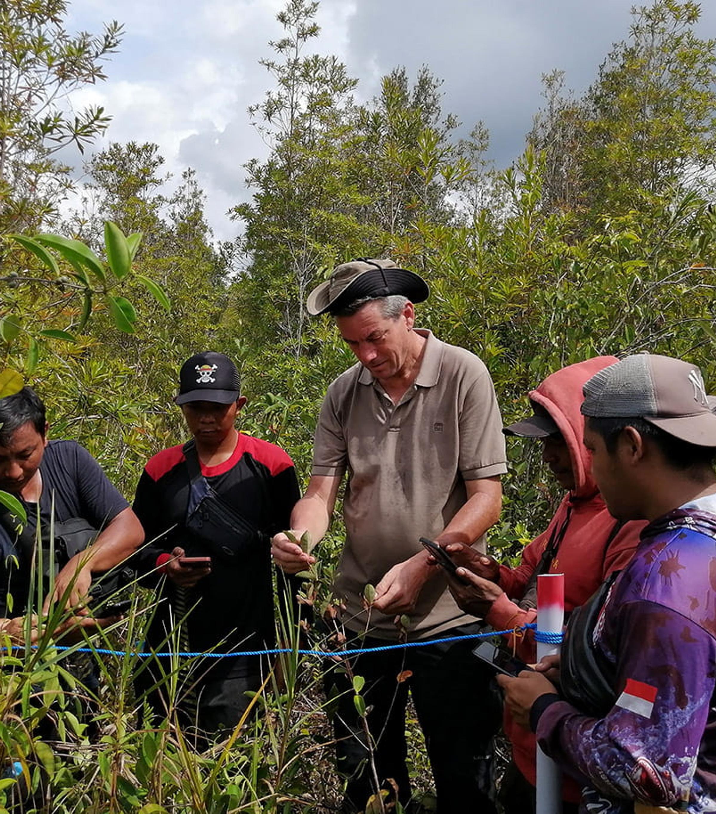
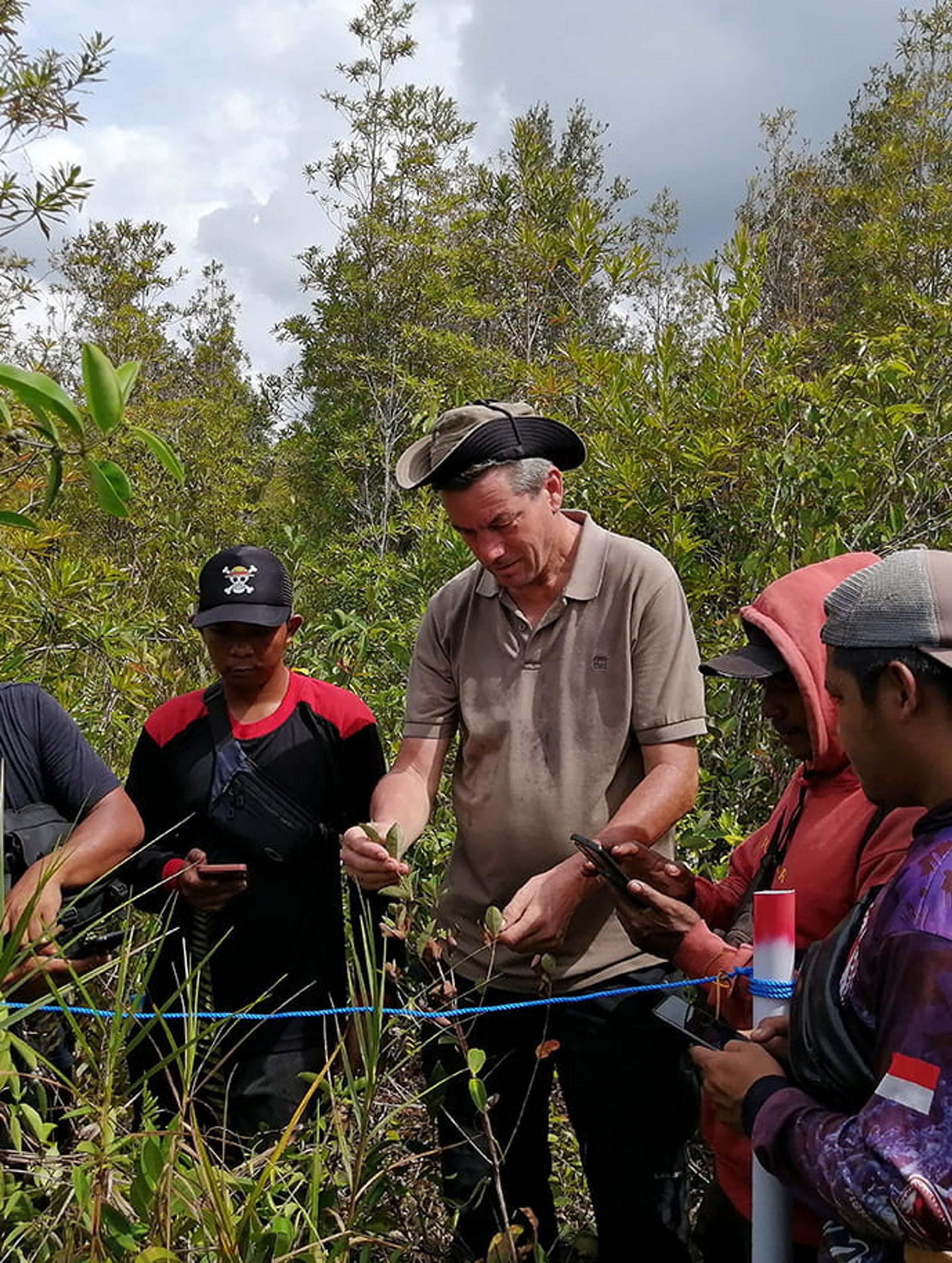
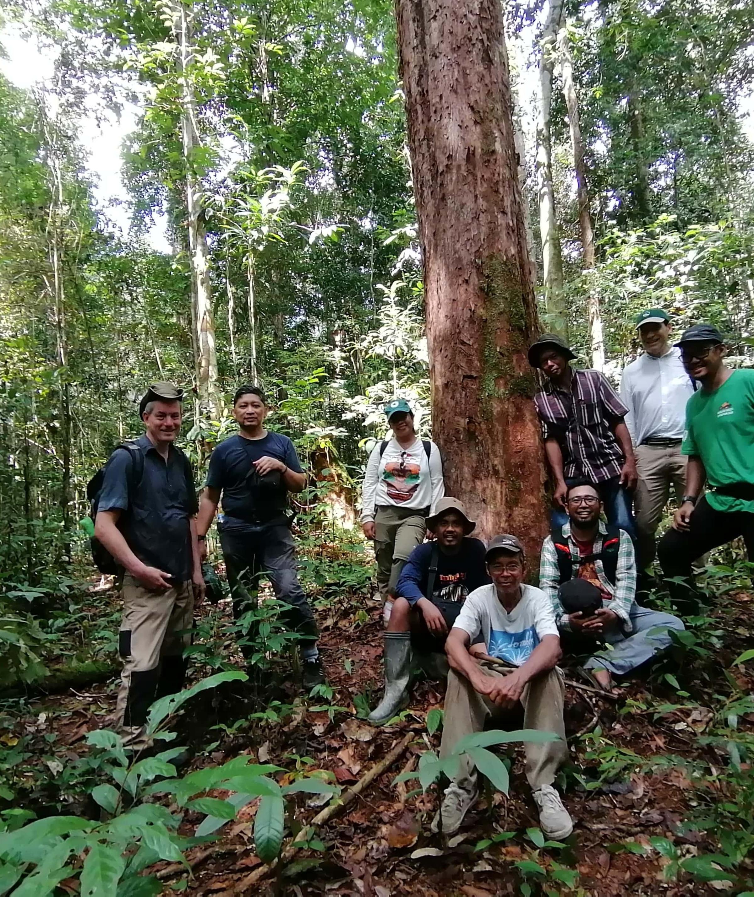
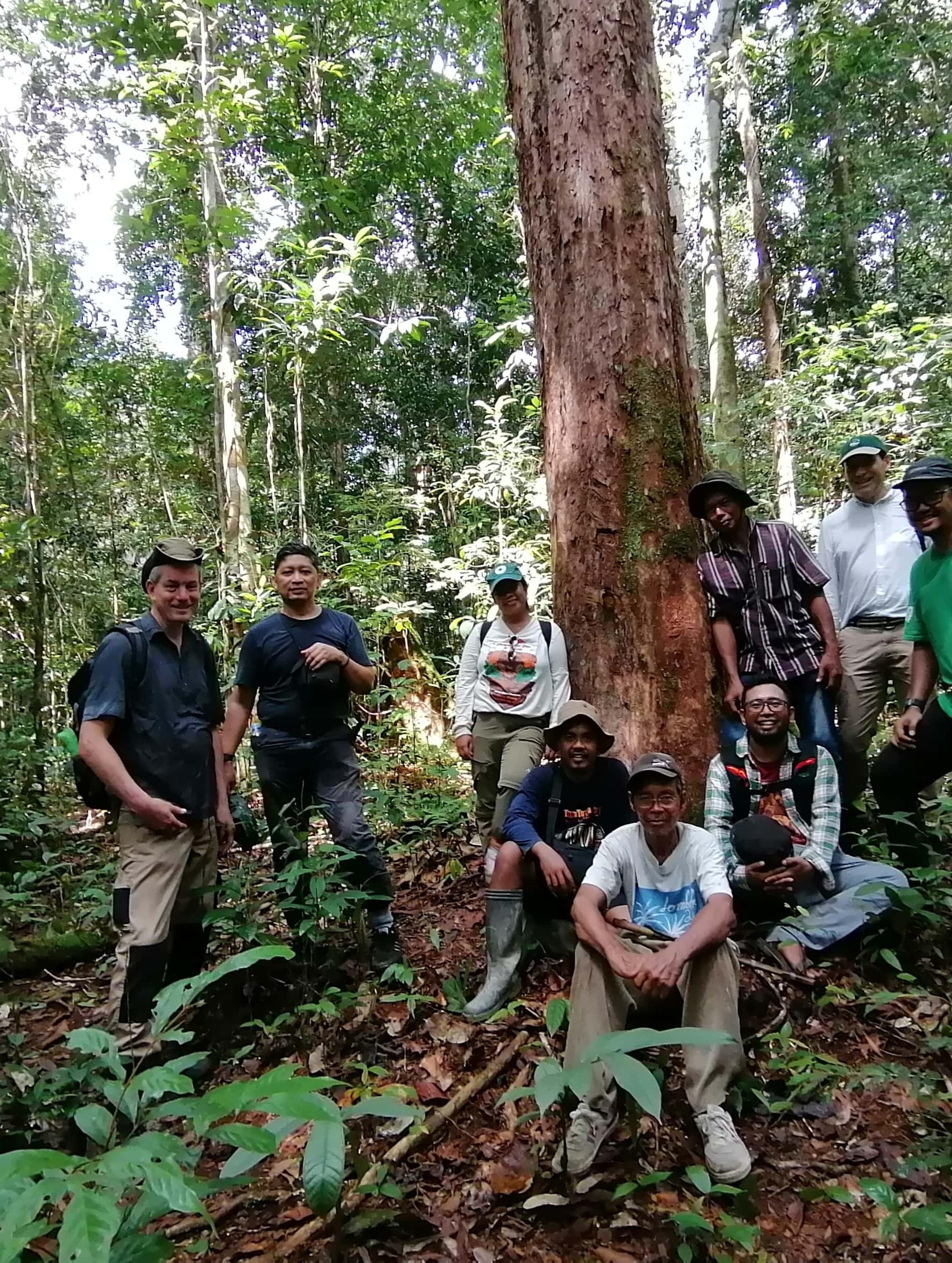
From the field in Borneo – building restoration monitoring together
By Stephan Wulffraat, Indonesia Operations Manager for Land LifeBy Stephan Wulffraat, Indonesia Operations Manager for Land Life
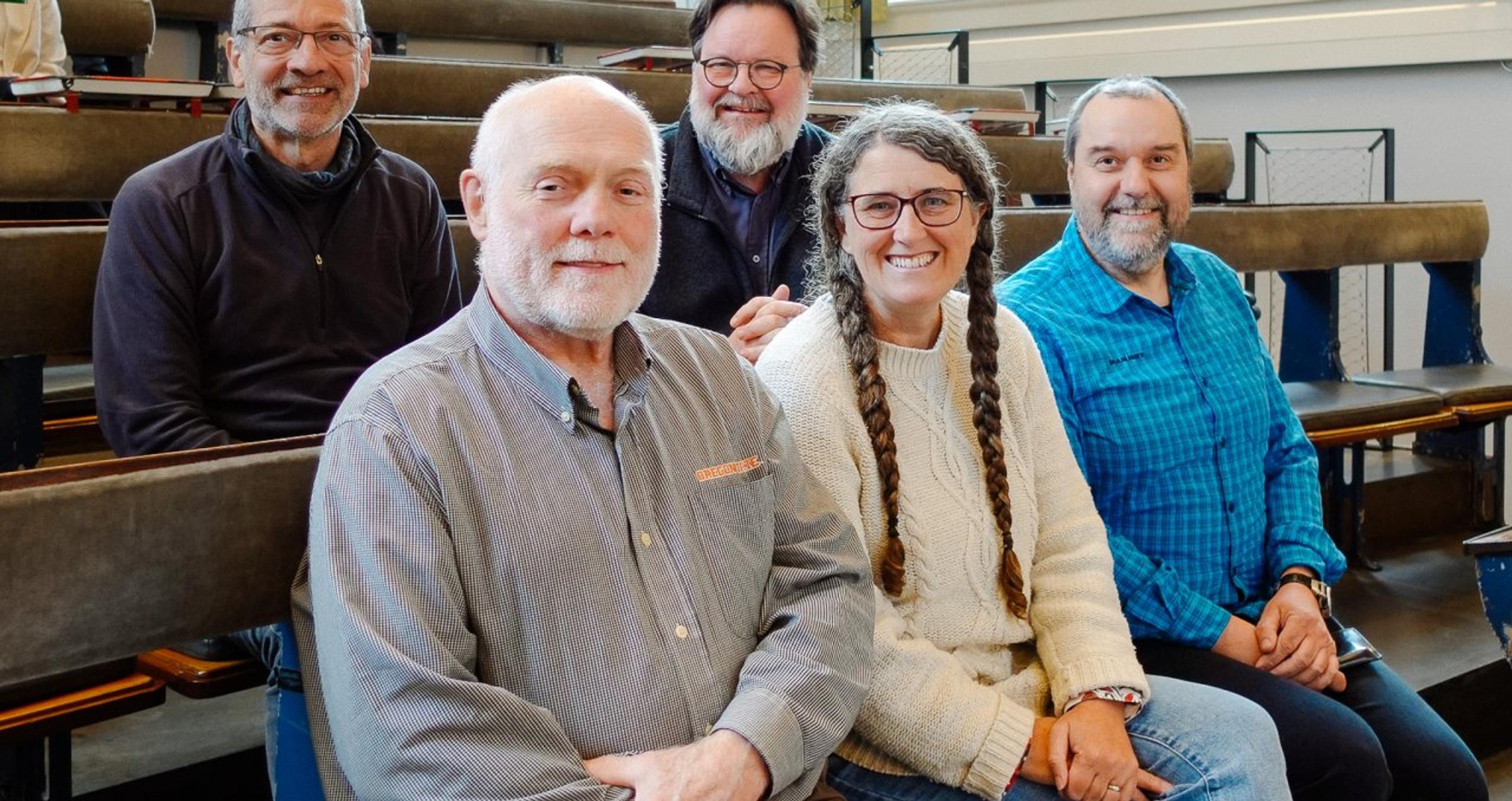
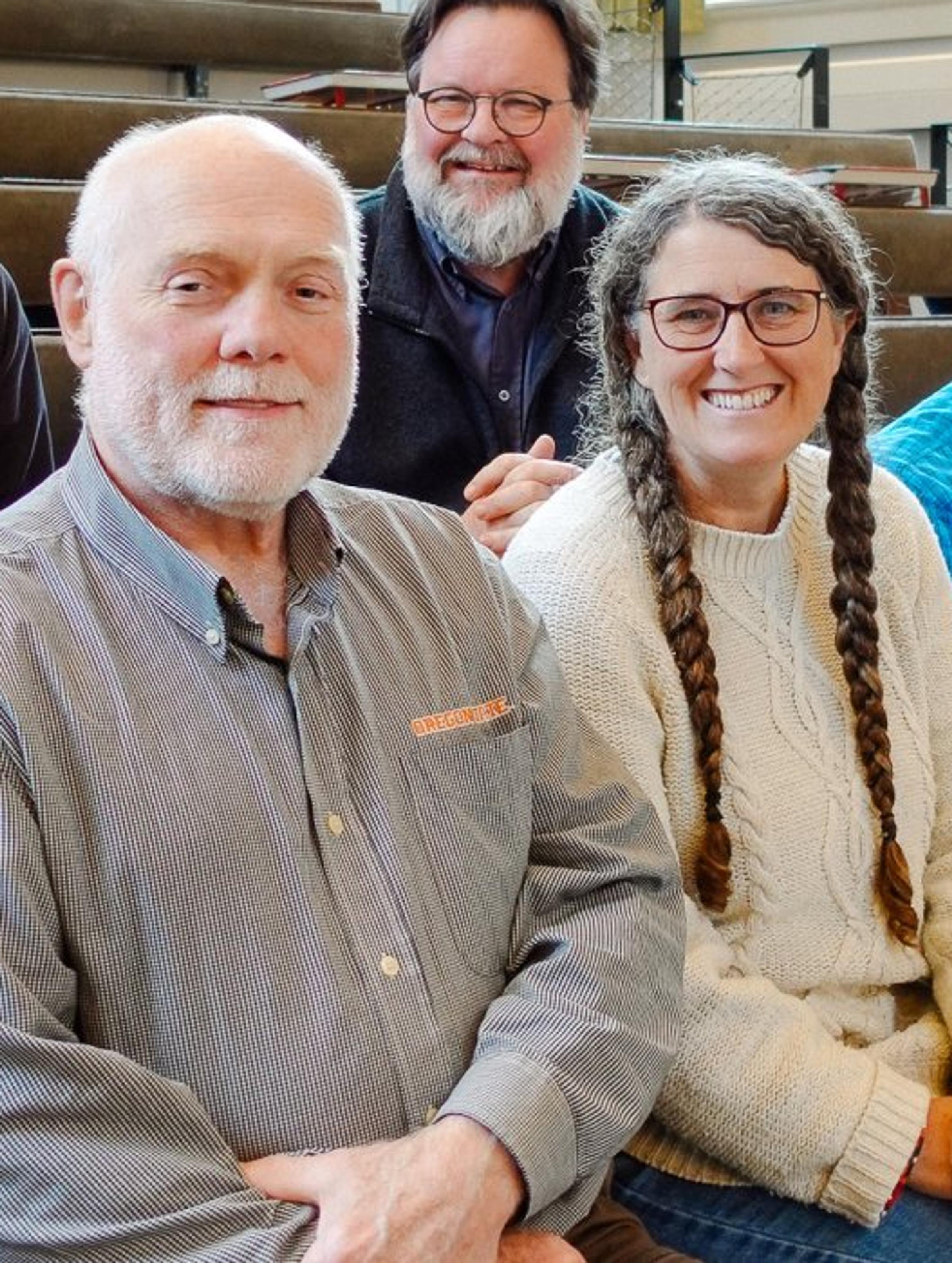
Land Life's Scientific Advisory Board: Meet Our Reforestation Experts
Discover the Land Life's Scientific Advisory Board members, who bring unparalleled reforestation and...Discover the Land Life's Scientific Advisory Board members, who bring unparalleled reforestation and sustainable forestry expertise to our nature-tech projects.
The Benefits of Planting Trees
The biological definition of a tree is “a woody perennial plant, typically having a single stem or t...The biological definition of a tree is “a woody perennial plant, typically havin...
Restoring Critical Orangutan Habitat in Borneo with BOSF
Land Life is restoring critical habitat for threatened orangutans in Borneo in partnership with Born...Land Life is restoring critical habitat for threatened orangutans in Borneo in p...
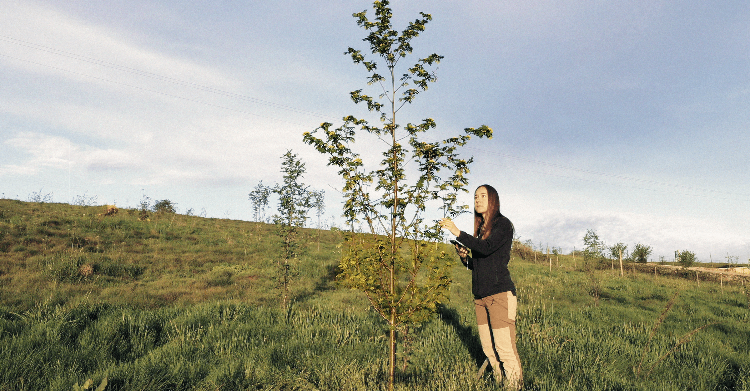
Watching Forests Grow: How Land Life’s Monitoring Builds Trust in Restoration
Monitoring is how Land Life turns a restoration project into a lasting forest. Combining expert fiel...Monitoring is how Land Life turns a restoration project into a lasting forest. Combining expert fieldwork with purpose-built technology, our system tracks every project from its first seedling to a th...
Degraded Land in Australia: Understanding the Impact and Solutions
Australia’s landscapes are degraded, biodiversity is declining, and climate risks are rising. Why is...Australia’s landscapes are degraded, biodiversity is declining, and climate risks are rising. Why is Australia in a deforestation and biodiversity crisis and what is Land Life doing to tackle this?