From the field in Borneo – building restoration monitoring together
By Stephan Wulffraat, Indonesia Operations Manager for Land Life
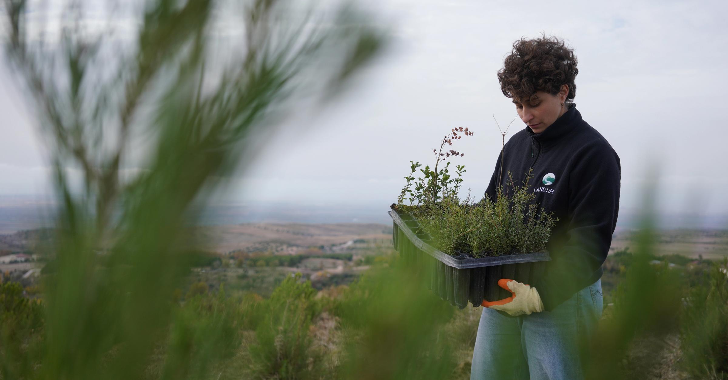
Monitoring the results of our nature restoration work in Borneo, Indonesia, is a critical part of ensuring long-term ecological success.
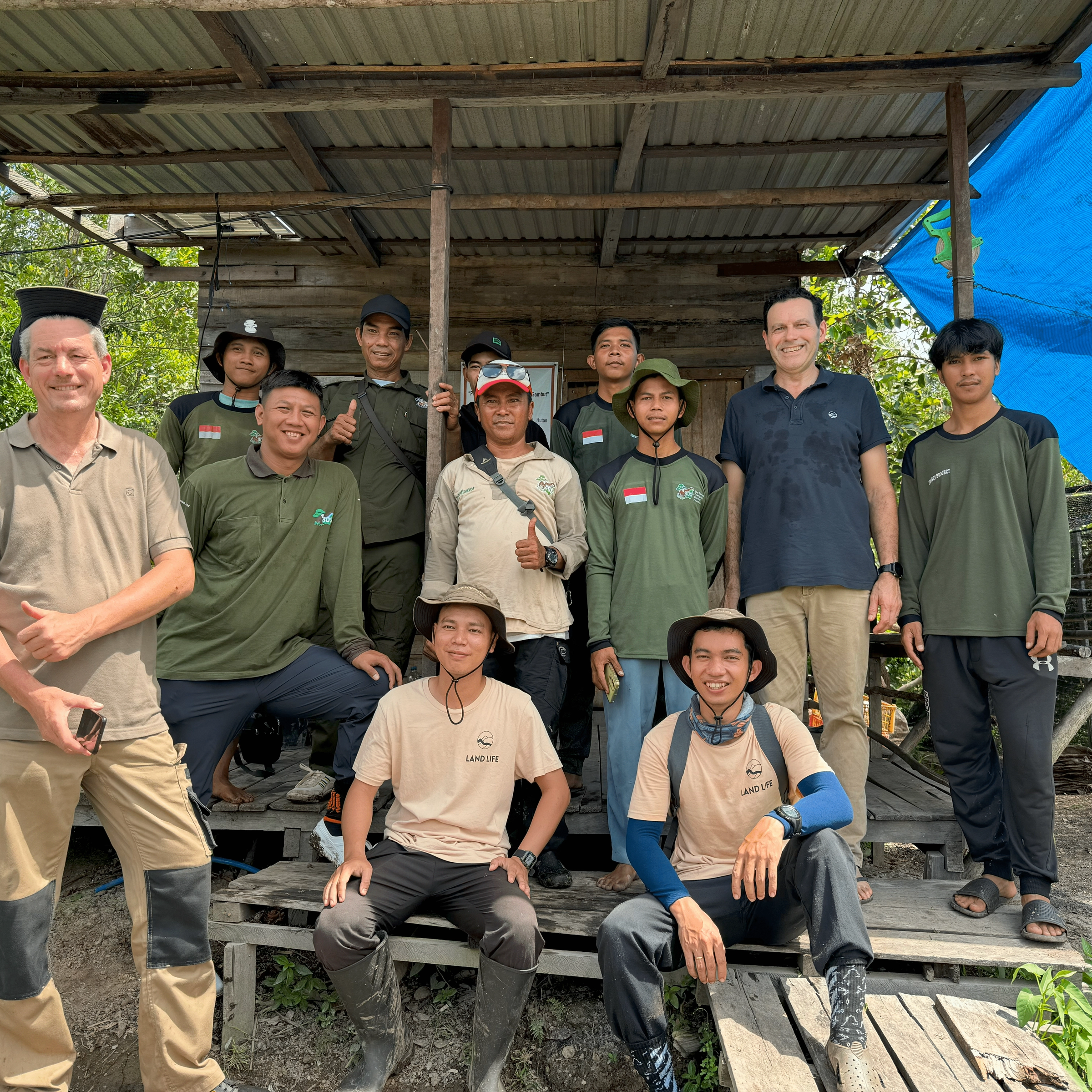
Since 2022, Land Life has been implementing community-led nature restoration projects in Borneo, Indonesia, working closely with our local partners – the Borneo Nature Foundation and the Borneo Orangutan Survival Foundation.
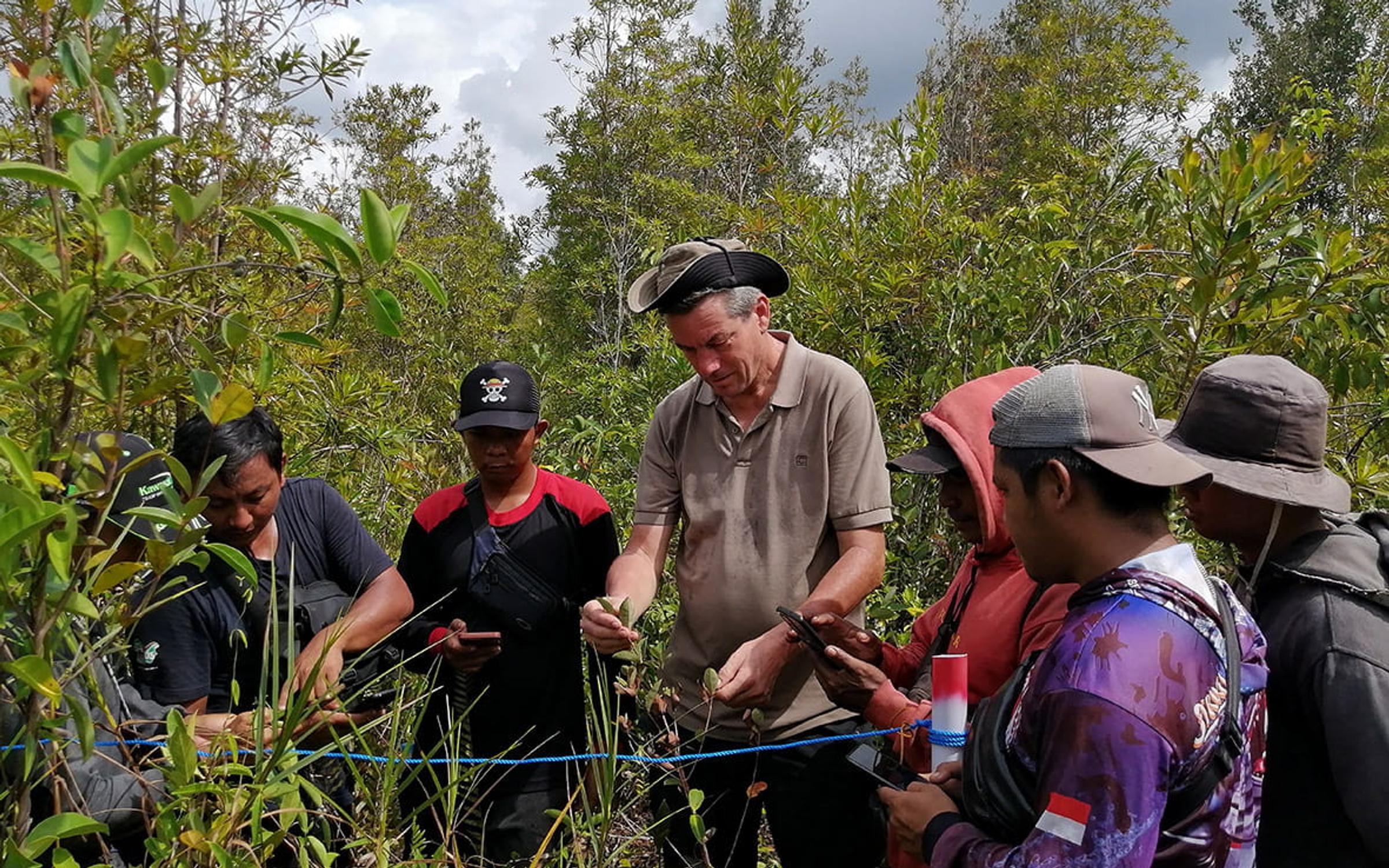
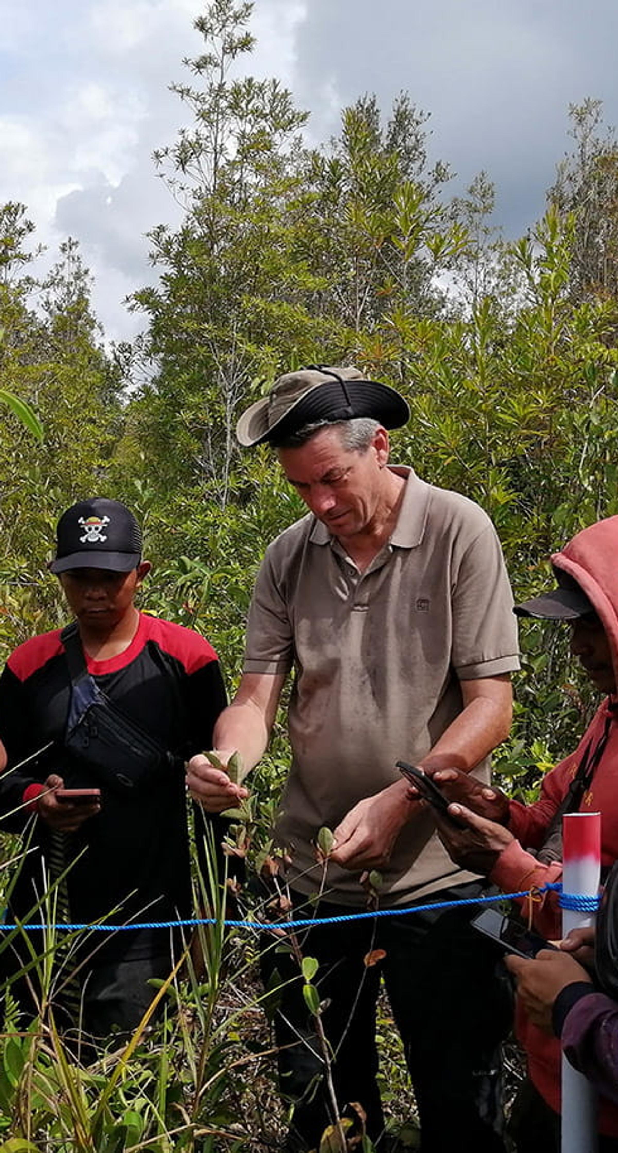
In late 2025, I returned to Borneo to conduct monitoring training with our local teams, focused on using Land Life’s custom Tree Monitoring App in the field.
Before heading into the forests, our Resilience team spent time preparing something that might sound simple, but is essential for long-term restoration success – making sure our tools truly fit the local context.
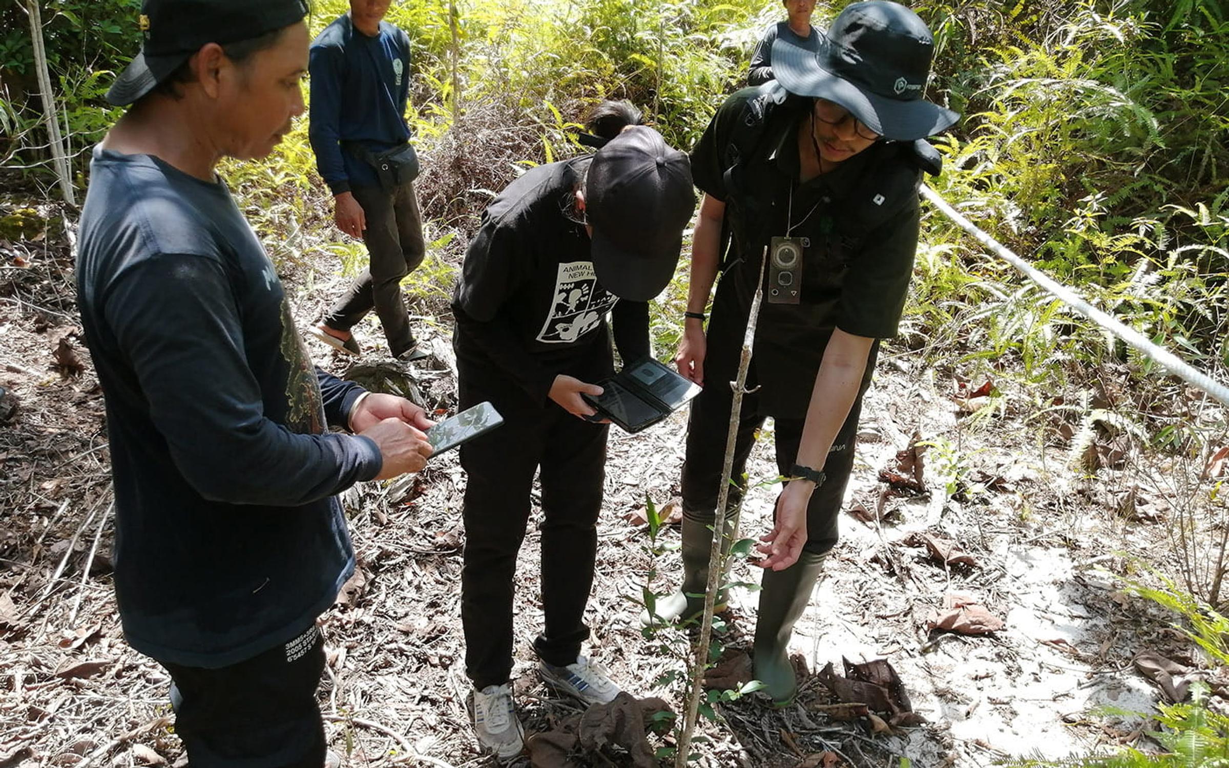
For our restoration sites in Rungan and Mawas, we developed two custom versions of the Tree Monitoring App. The questions were translated into Indonesian, tree species were listed using local names, and the monitoring approach was adapted to the realities of working in remote peatland and forest landscapes. The goal was clear – to make monitoring something that local field teams could fully own, not just participate in.
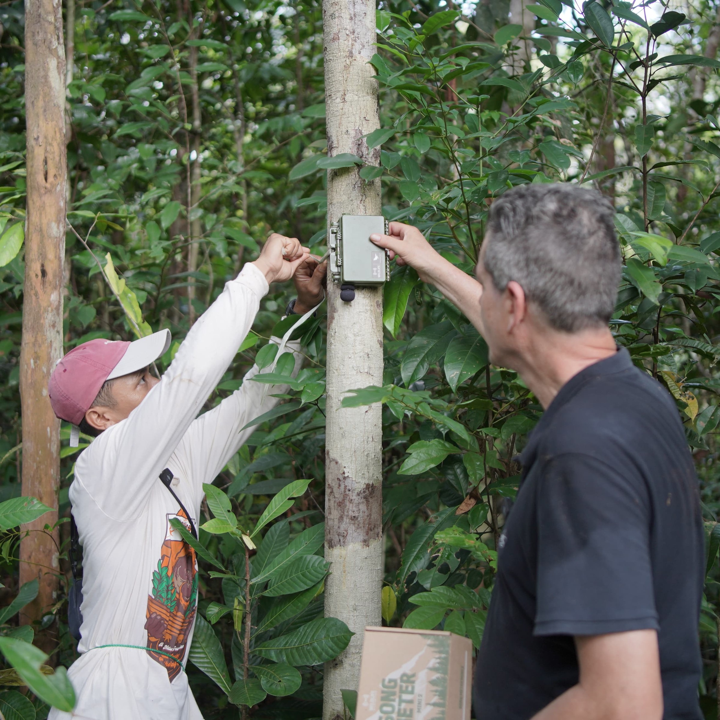
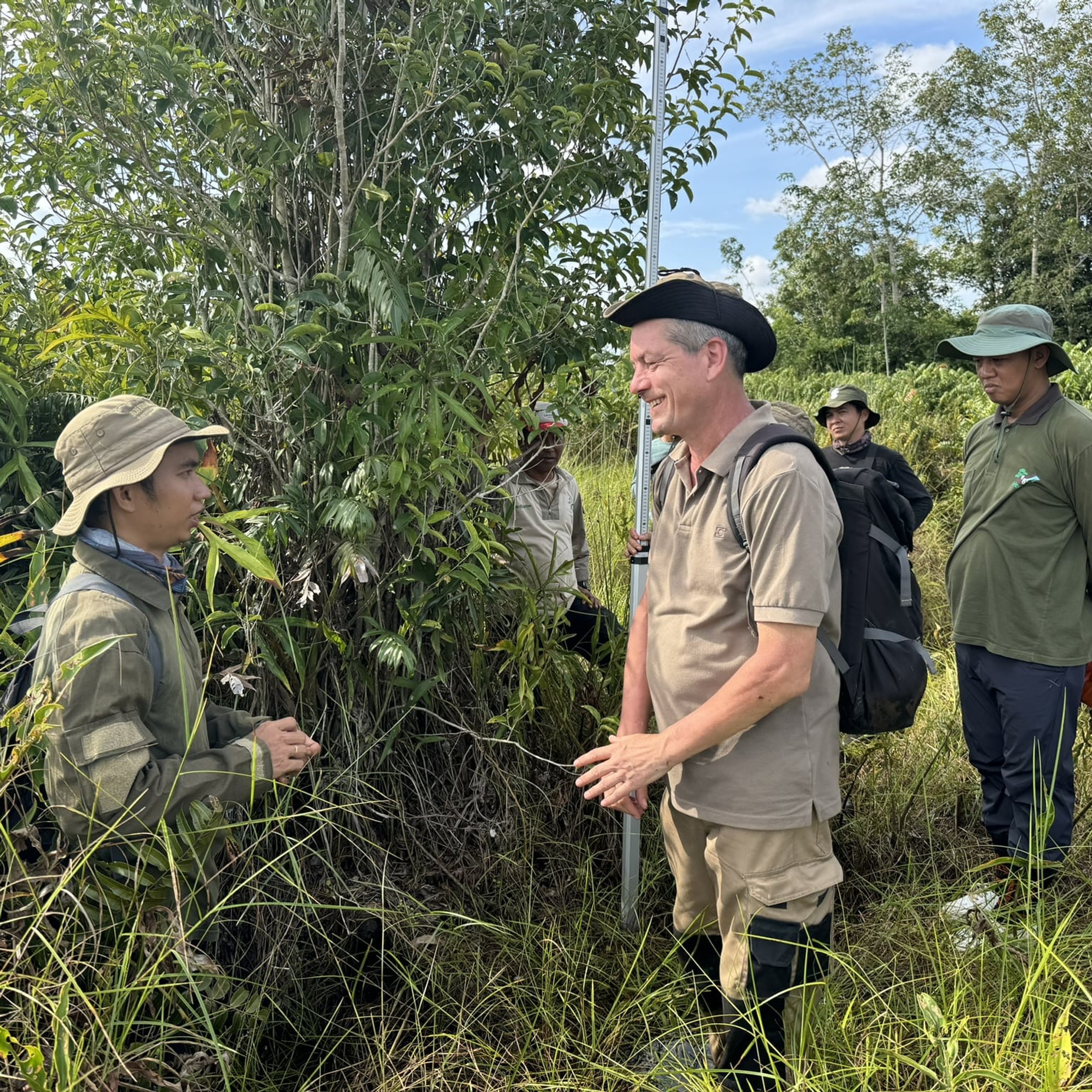
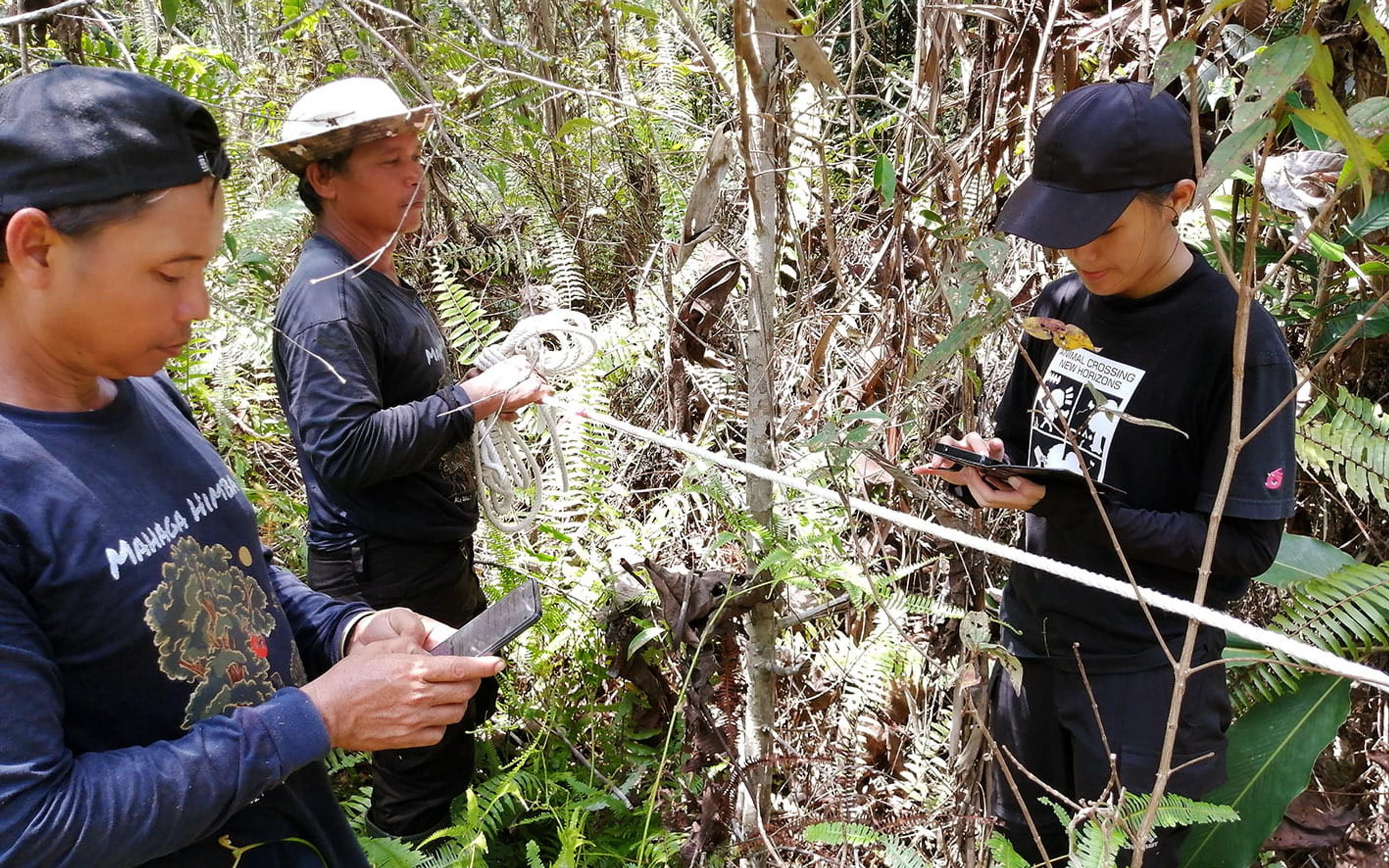
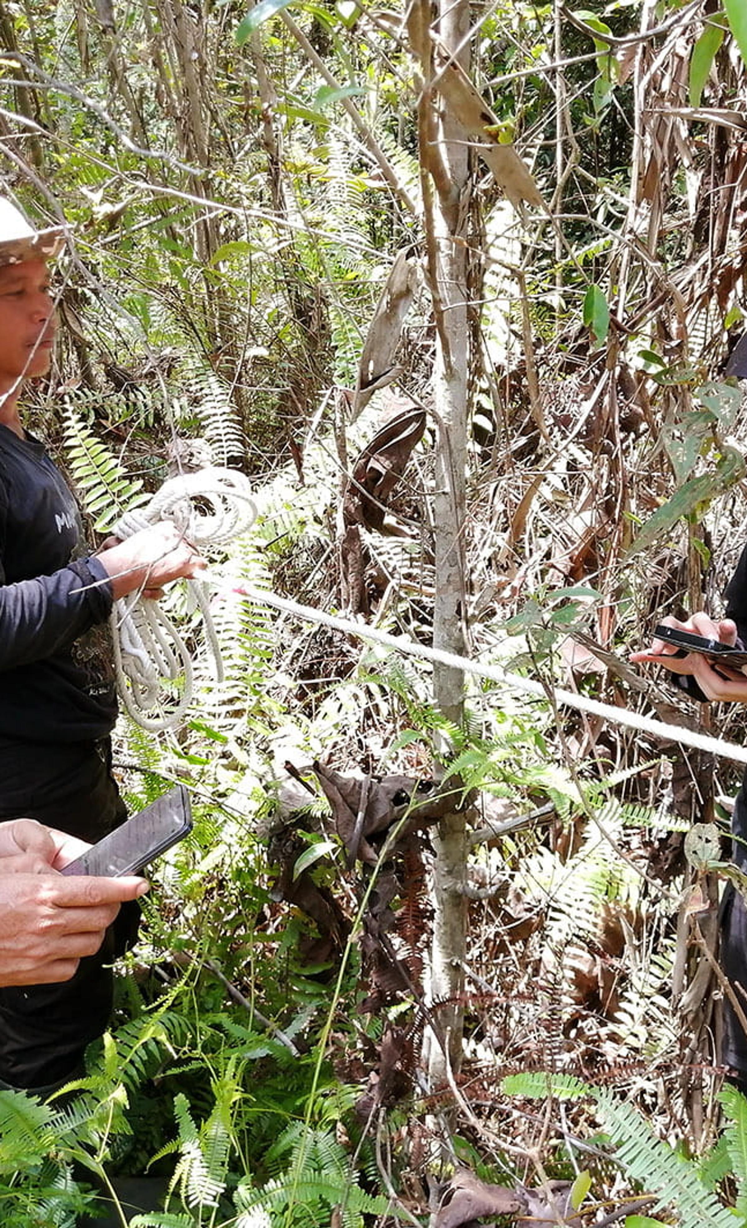
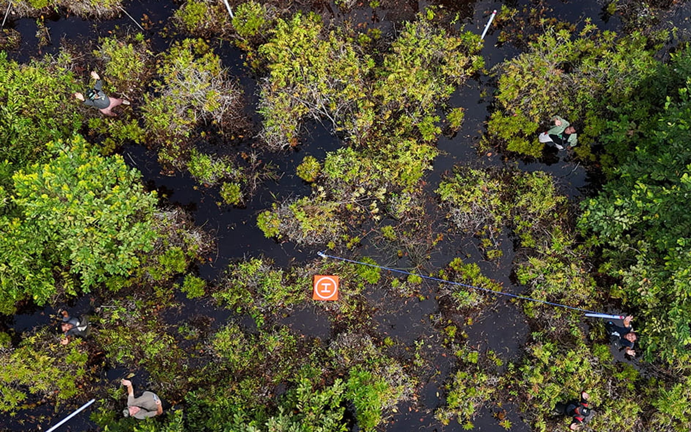
Once the field staff from our partner organisations had installed the app on their phones, we travelled together to the project areas to begin the training. In the field, we located pre-defined sampling points and set up circular plots using a tagged central pole and a 5.64-metre rope. From there, we systematically surveyed each plot, measuring seedlings, saplings and trees and recording growth, survival and species diversity directly into the app.
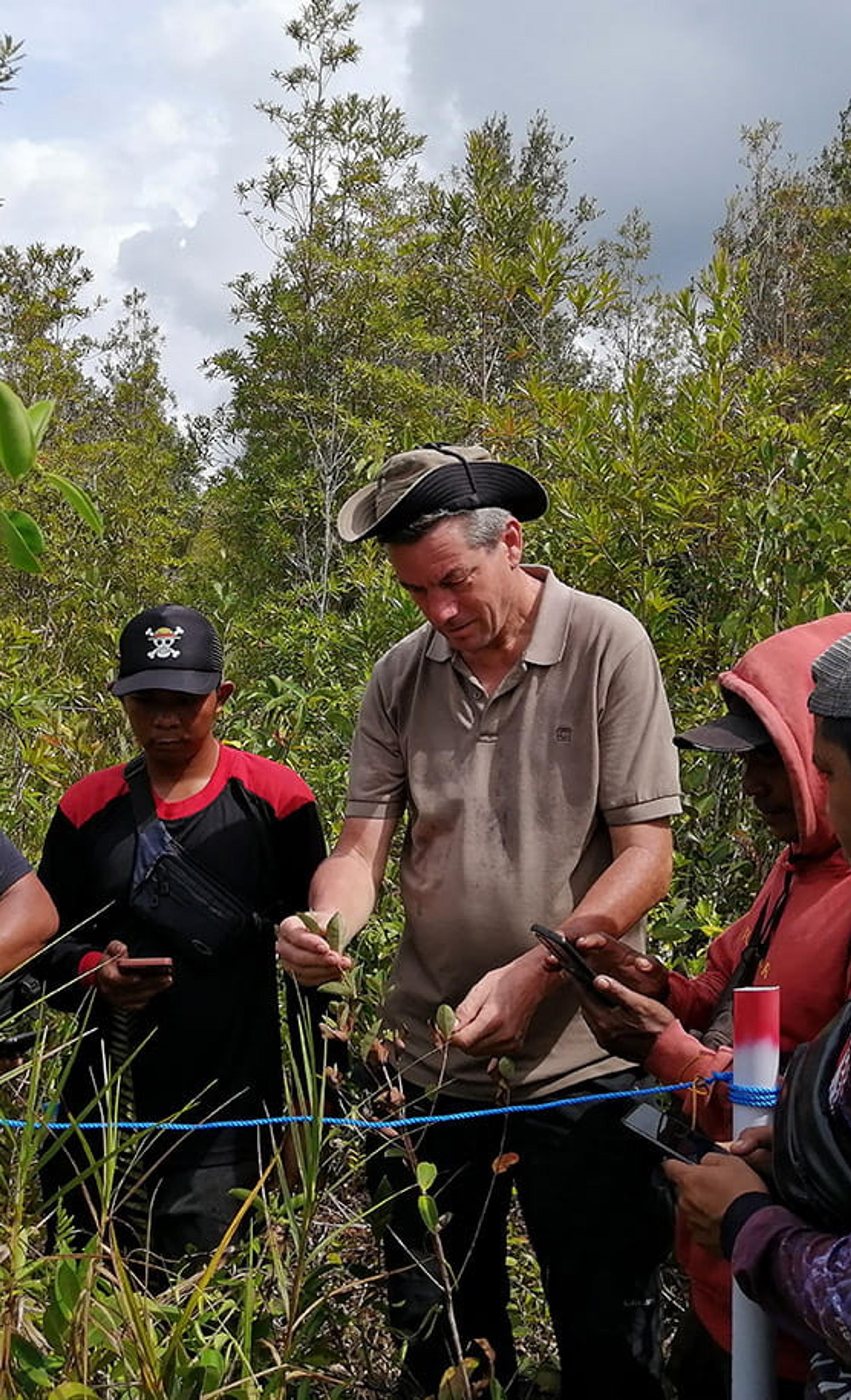
These field teams bring deep ecological knowledge with them. In most cases, they know the tree species instantly. When there was uncertainty, we discussed it together until we reached a confident identification. That exchange – combining local ecological knowledge with structured scientific monitoring – is where the real strength of this work lies.
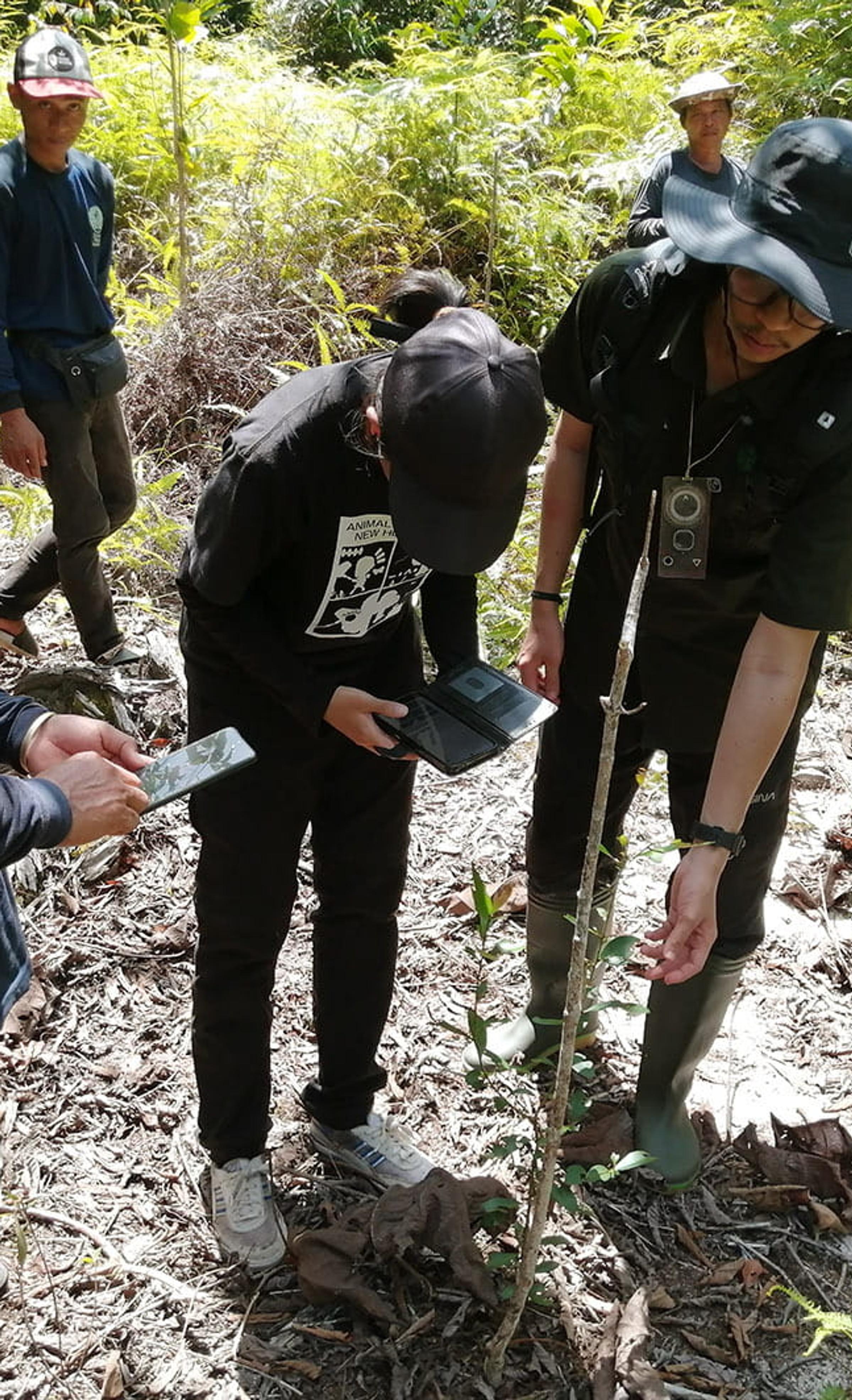
What impressed me most was how quickly the teams became comfortable with the technology. Within a few hours of training on locating plots, setting up measurements and entering data, they were working largely independently, with only light supervision. The app became a practical field tool rather than something abstract or unfamiliar.
Even more valuable were the conversations that happened during the workday and in the evenings afterwards. Field crews shared thoughtful, practical feedback on how plots could be better localised, how the sampling design could be refined, and what additional data points would be useful in their specific environments. Their input is already helping us improve the app and our monitoring protocols – not in theory, but based on lived experience in the landscape.
For me, this is what delivering impact beyond carbon really looks like. Yes, high-quality monitoring underpins credible carbon removal and long-term ecosystem performance. But just as important is building local capacity, recognising expertise, and creating systems where communities are active contributors to restoration success.
In Borneo, monitoring is no longer something done to a project – it’s something done with the people who know the land best. And that collaboration makes our restoration work stronger, more resilient and more meaningful for the long term.
About Stephan Wulffraat